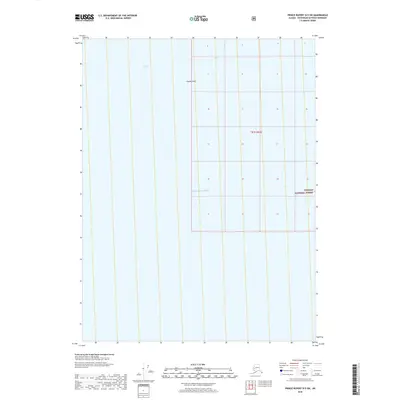
2018 Map of Prince Rupert D-5 SW
USGS Topo · Published 2018About this map
Clarence Strait and the open waters of the Pacific Ocean dominate this maritime survey of the Alaskan coast. The map centers on the navigational waters of the Alexander Archipelago, where Hassler Reef poses a significant underwater feature for coastal transit. This portion of the Tongass National Forest represents a maritime-focused segment of the region, emphasizing the vast water-to-land ratio characteristic of the Ketchikan Gateway area. The cartography focuses on hydrographic detail rather than terrestrial development, illustrating the maritime corridors and submerged hazards that define the local economy and transportation network.
Find a feature on this map
5 named features on this map. Tap any name to fly to it.
Don’t see what you’re looking for? This feature index may not catch every label — zoom into the map to look around manually.
Map Details
Editions of this 2018 Prince Rupert D-5 SW Map
This is the sole edition of this map. No revisions or reprints were ever made.
Other maps of this area

1948 · Prince Rupert D-6
USGS Topo · 1:63,360

1951 · Prince Rupert
USGS Topo · 1:250,000

1951 · Prince Rupert D-6
USGS Topo · 1:63,360
1955 · Prince Rupert D-5
USGS Topo · 1:63,360

1959 · Prince Rupert
USGS Topo · 1:250,000

1964 · Prince Rupert
USGS Topo · 1:250,000
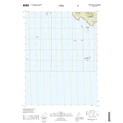
2018 · Prince Rupert D-5 SE
USGS Topo · 1:25,000
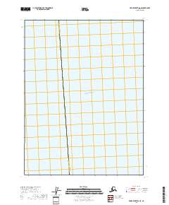
2018 · Prince Rupert D-6 SE
USGS Topo · 1:25,000
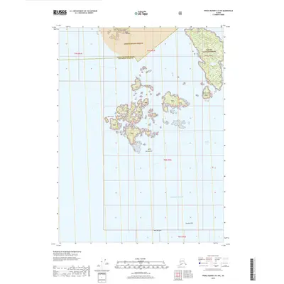
2018 · Prince Rupert D-5 NW
USGS Topo · 1:25,000
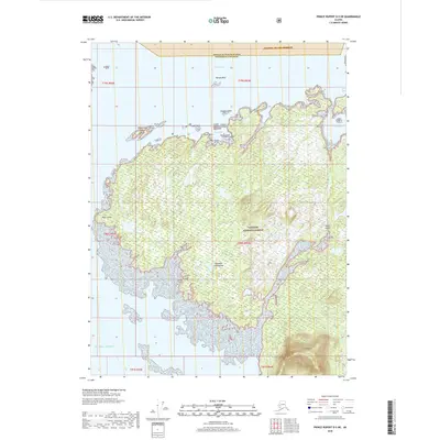
2018 · Prince Rupert D-5 NE
USGS Topo · 1:25,000