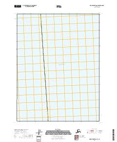
2018 Map of Prince Rupert D-6 SE
USGS Topo · Published 2018About this map
The maritime boundary between Ketchikan Gateway and Prince of Wales-Hyder bisects this expansive aquatic landscape in Southeast Alaska. Focused primarily on the waters of the Pacific Ocean, the map reveals the transition into the southern reaches of Clarence Strait. This 2018 survey provides a clear view of the administrative divide within these critical coastal waterways, serving as a clean reference for the nautical limits and jurisdictional borders of the Alexander Archipelago. Because the sheet is dominated by open water, it highlights the essential role these straits play in connecting the region's remote island communities and maritime commerce routes.
Find a feature on this map
3 named features on this map. Tap any name to fly to it.
Don’t see what you’re looking for? This feature index may not catch every label — zoom into the map to look around manually.
Map Details
Editions of this 2018 Prince Rupert D-6 SE Map
This is the sole edition of this map. No revisions or reprints were ever made.
Other maps of this area

1948 · Prince Rupert D-6
USGS Topo · 1:63,360

1951 · Prince Rupert
USGS Topo · 1:250,000

1951 · Prince Rupert D-6
USGS Topo · 1:63,360
1955 · Prince Rupert D-5
USGS Topo · 1:63,360

1959 · Prince Rupert
USGS Topo · 1:250,000

1964 · Prince Rupert
USGS Topo · 1:250,000
2018 · Prince Rupert D-5 SW
USGS Topo · 1:25,000
2018 · Prince Rupert D-6 SW
USGS Topo · 1:25,000
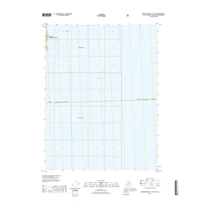
2018 · Dixon Entrance C-1 OE E NW
USGS Topo · 1:25,000
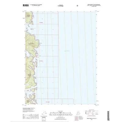
2018 · Prince Rupert D-6 NW
USGS Topo · 1:25,000