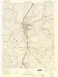
1972 Map of Princess Anne
USGS Topo · Published 1974About this map
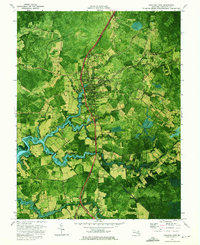
The historic town of Princess Anne serves as the central hub of this 1970s orthophotomap, showing the community just as modern development began to interface with its long-established agricultural and academic roots. The campus of the Univ of Maryland Eastern Shore stands prominently near the town center, surrounded by local landmarks like Antioch Ch and Washington High Sch. This era captures the primary transportation corridor of the Penn Central railroad as it bisects the landscape, connecting the town with outlying settlements such as Arden Station and Westover.
Find a feature on this map
56 named features on this map. Tap any name to fly to it.
Don’t see what you’re looking for? This feature index may not catch every label — zoom into the map to look around manually.
Map Details
Editions of this 1972 Princess Anne Map
2 editions found
Other maps of this area

1901 · Salisbury
USGS Topo · 1:62,500

1903 · Nanticoke
USGS Topo · 1:62,500

1903 · Deal Island
USGS Topo · 1:62,500

1942 · Marion
USGS Topo · 1:24,000

1942 · Monie
USGS Topo · 1:24,000

1942 · Wetipquin
USGS Topo · 1:24,000

1942 · Kingston
USGS Topo · 1:24,000

1942 · Princess Anne
USGS Topo · 1:24,000

1942 · Eden
USGS Topo · 1:24,000

1942 · Dividing Creek
USGS Topo · 1:24,000