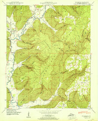
1951 Map of Princeton
USGS Topo · Published 1951About this map
Larkin Fork and Paint Rock River define the winding agricultural valleys of this Jackson County region, where small settlements like Princeton and Swaim served as local hubs in the early 1950s. The landscape is characterized by the dramatic rise of the Cumberland Plateau and Jacobs Mountain, with deep incisions like Fowler Cove and Cowan Hollow providing routes into the uplands. Genealogists will find a wealth of specific family landmarks, including the Prince Cem, Church Hill Cem, and Latham Cem, alongside community centers such as Camp Ground Church and Guess Creek Church. The map reveals a post-war rural economy still deeply tied to the terrain, evidenced by the numerous named points and narrows like Latham Narrows and Fowler Narrows that dictated travel and habitation patterns between the plateau and the river bottoms.
Find a feature on this map
74 named features on this map. Tap any name to fly to it.
Don’t see what you’re looking for? This feature index may not catch every label — zoom into the map to look around manually.
Map Details
Editions of this 1951 Princeton Map
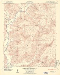
2 editions found
Other maps of this area

1888 · Scottsboro
USGS Topo · 1:125,000

1892 · Scottsboro
USGS Topo · 1:125,000

1936 · Scottsboro
USGS Topo · 1:24,000

1936 · King Cove
USGS Topo · 1:24,000

1936 · Hollytree
USGS Topo · 1:24,000

1936 · Mud Creek
USGS Topo · 1:24,000

1936 · Hytop
USGS Topo · 1:24,000

1936 · Princeton
USGS Topo · 1:24,000

1936 · Lim Rock
USGS Topo · 1:24,000
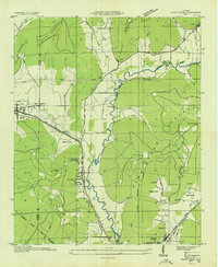
1936 · Paint Rock
USGS Topo · 1:24,000