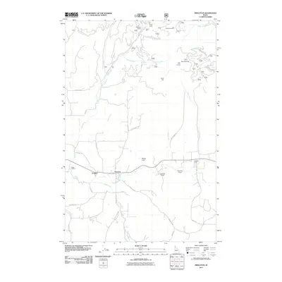
2011 Map of Princeton
USGS Topo · Published 2011About this map
The Palouse River winds through this northern Idaho landscape, anchoring the settlements of Princeton and Hampton along its course. The terrain is defined by a dense network of gulches and creeks, including Treasure Gulch, Picnic Gulch, and Hatter Creek, which carve through the high ground surrounding Gold Hill. This area highlights a legacy of resource extraction, evidenced by the presence of the Carrico Mine and the evocatively named Lost Wheelbarrow Mine near the northern boundary.
Find a feature on this map
50 named features on this map. Tap any name to fly to it.
Don’t see what you’re looking for? This feature index may not catch every label — zoom into the map to look around manually.
Map Details
Editions of this 2011 Princeton Map
This is the sole edition of this map. No revisions or reprints were ever made.
Other maps of this area

1955 · Pullman
USGS Topo · 1:250,000

1955 · Spokane
USGS Topo · 1:250,000

1957 · Emida
USGS Topo · 1:62,500

1957 · Tensed
USGS Topo · 1:62,500

1958 · Spokane
USGS Topo · 1:250,000

1958 · Pullman
USGS Topo · 1:250,000

1960 · Robinson Lake
USGS Topo · 1:24,000

1960 · Moscow Mtn
USGS Topo · 1:24,000

1960 · Potlatch
USGS Topo · 1:62,500

1961 · Deary
USGS Topo · 1:62,500