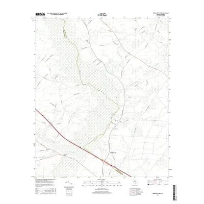
2017 Map of Pringletown
USGS Topo · Published 2017About this map
Four Hole Swamp dominates this landscape along the border of Berkeley and Dorchester counties, creating a complex network of wetlands and drainage basins. The settlement of Pringletown serves as a local focal point near the southern edge, while the surrounding territory is defined by rural tracks like Old Gilliard Rd and Mudville Rd. This modern survey illustrates how long-established landmarks, such as Four Hole Bridge, continue to anchor the region's transportation network as it crosses the significant swamp systems.
Find a feature on this map
68 named features on this map. Tap any name to fly to it.
Don’t see what you’re looking for? This feature index may not catch every label — zoom into the map to look around manually.
Map Details
Editions of this 2017 Pringletown Map
This is the sole edition of this map. No revisions or reprints were ever made.
Other maps of this area

1919 · Summerville
USGS Topo · 1:48,000

1919 · Ridgeville
USGS Topo · 1:48,000

1920 · Eutawville
USGS Topo · 1:48,000

1920 · Chicora
USGS Topo · 1:48,000

1920 · Ridgeville
USGS Topo · 1:62,500

1920 · Summerville
USGS Topo · 1:62,500

1921 · Chicora
USGS Topo · 1:62,500

1921 · Eutawville
USGS Topo · 1:62,500

1943 · Chicora
USGS Topo · 1:62,500

1943 · Ridgeville
USGS Topo · 1:62,500