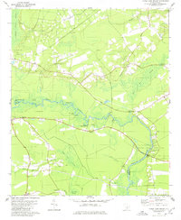
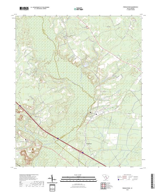
1979 Map of Pringletown
USGS Topo · Published 1980This historical map portrays the area of Pringletown in 1979, primarily covering Dorchester County as well as portions of Berkeley County. Featuring a scale of 1:24000, this map provides a highly detailed snapshot of the terrain, roads, buildings, counties, and historical landmarks in the Pringletown region at the time. Published in 1980, it is one of 3 known editions of this map due to revisions or reprints.
Find a feature on this map
29 named features on this map. Tap any name to fly to it.
Don’t see what you’re looking for? This feature index may not catch every label — zoom into the map to look around manually.
Map Details
Editions of this 1979 Pringletown Map
3 editions found
Historical Maps of Mount Pisgah Through Time
10 maps found
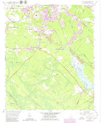
1957 Stallsville
Dorchester County, SC
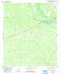
1979 Clubhouse Crossroads
Dorchester County, SC
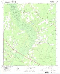
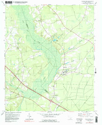
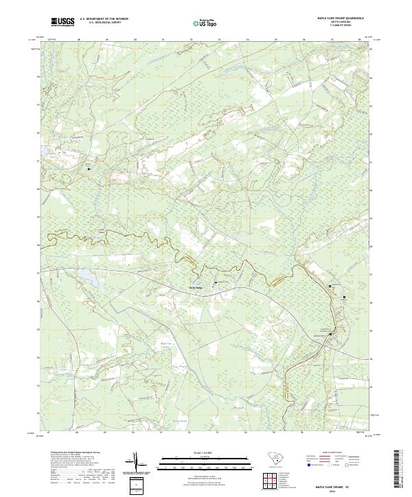
1979 Maple Cane Swamp
Dorchester County, SC
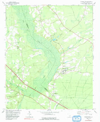
1979 Pringletown
Dorchester County, SC
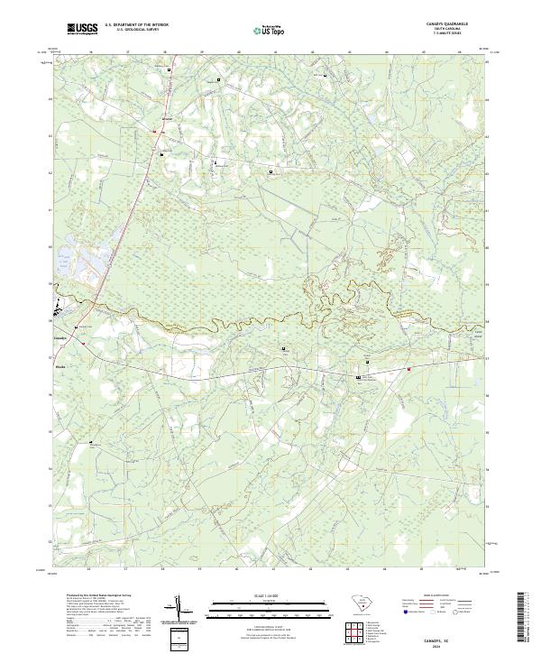
2024 Canadys
Dorchester County, SC
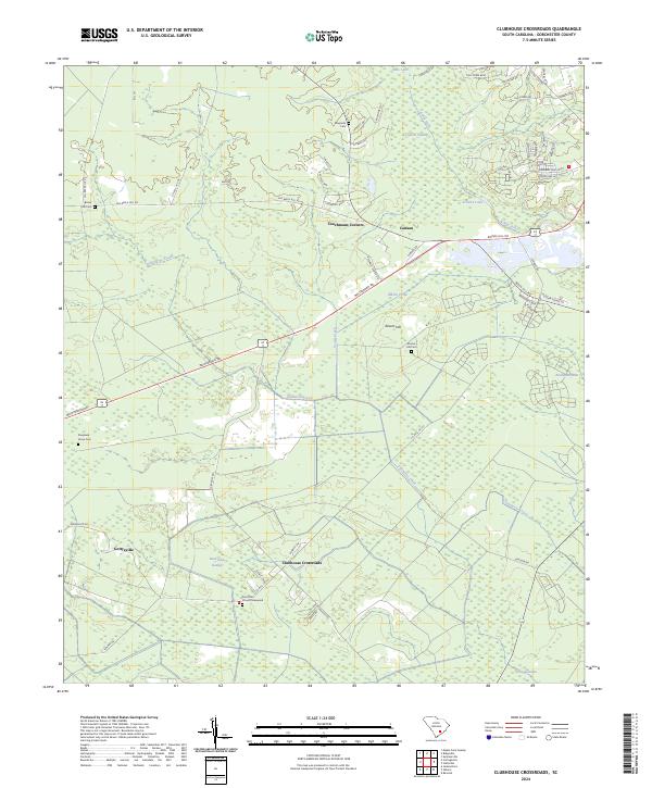
2024 Clubhouse Crossroads
Dorchester County, SC
2024 Maple Cane Swamp
Dorchester County, SC
2024 Pringletown
Dorchester County, SC
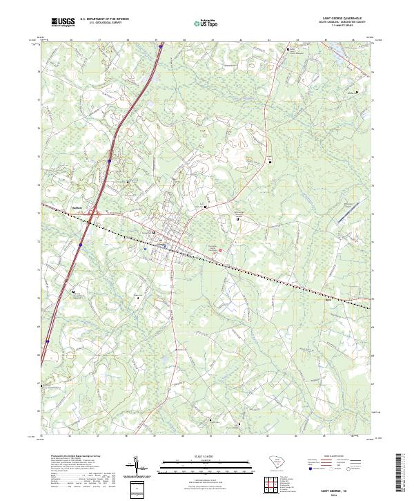
2024 Saint George
Dorchester County, SC
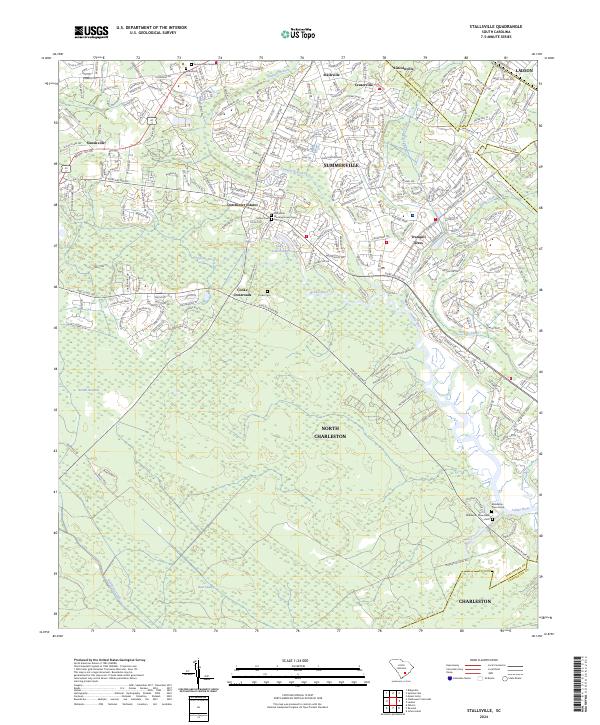
2024 Stallsville
Dorchester County, SC