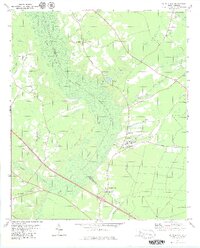
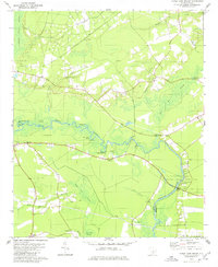
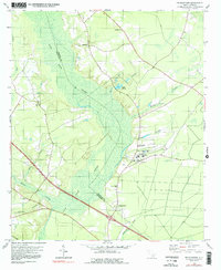
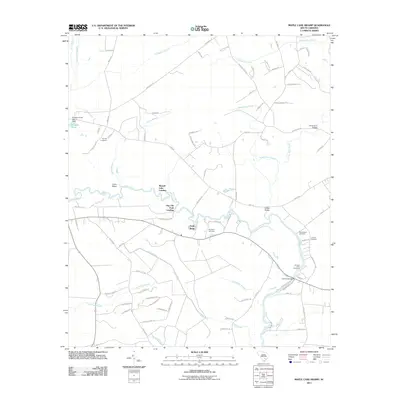
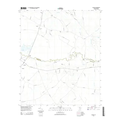
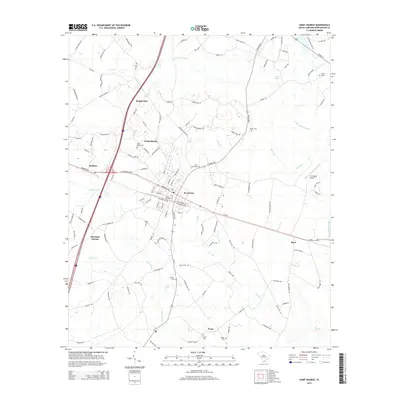
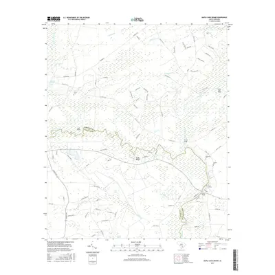
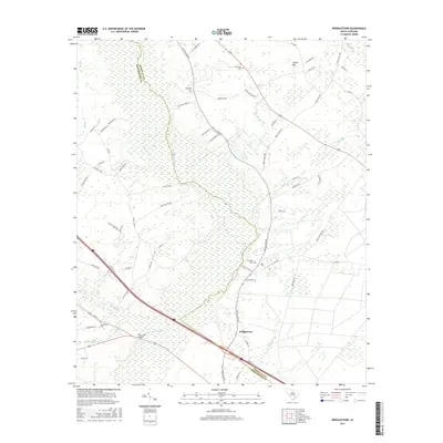
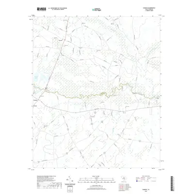
1979 Map of Pringletown
USGS Topo · Published 1980About this map
Four Hole Swamp dominates the central landscape of this South Carolina Lowcountry region, creating a natural division between Berkeley and Dorchester counties. The settlement of Pringletown sits on the southern edge of this vast wetland system, connected to the surrounding countryside by roads like Gaillard Road and Fish Road. This 1979 survey records a high concentration of community centers of worship, including Spring Hill Ch, Sand Ridge Ch, and Mt Pisgah Ch, which often served as the social anchors for rural families in the area.
Find a feature on this map
29 named features on this map. Tap any name to fly to it.
Don’t see what you’re looking for? This feature index may not catch every label — zoom into the map to look around manually.
Map Details
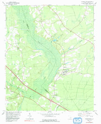
Editions of this 1979 Pringletown Map
3 editions found
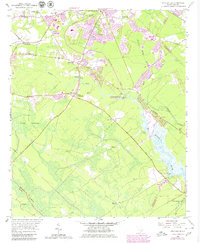
Historical Maps of Spring Hill Through Time
34 maps found
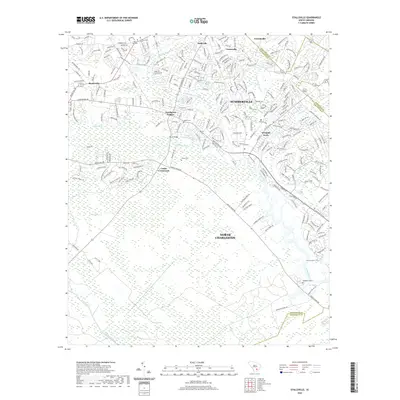
1957 Stallsville
Dorchester County, SC
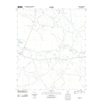
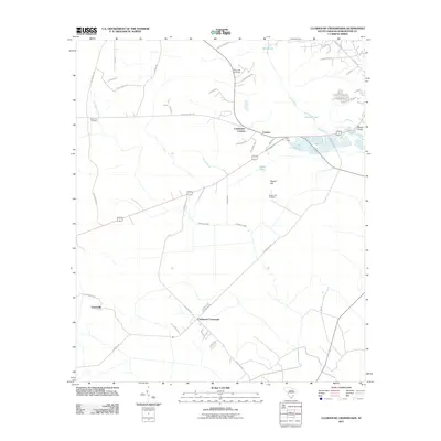
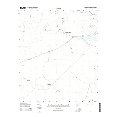
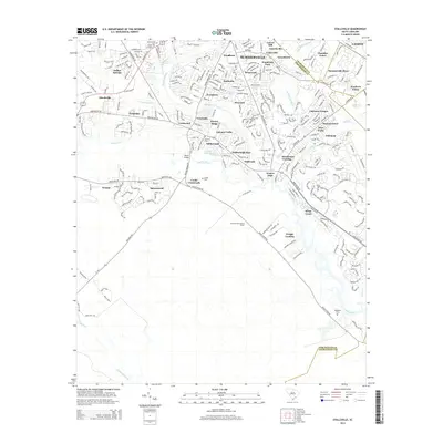
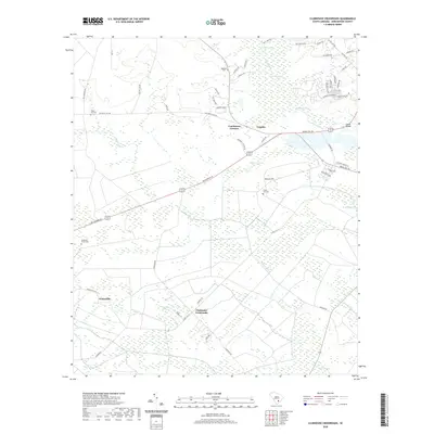
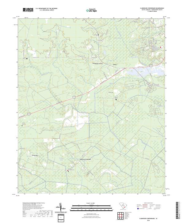
1979 Clubhouse Crossroads
Dorchester County, SC
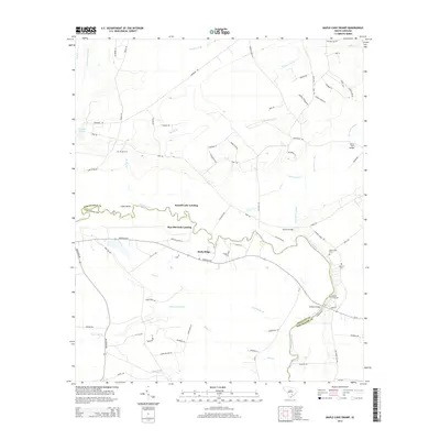
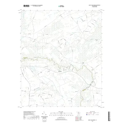
1979 Maple Cane Swamp
Dorchester County, SC
1979 Pringletown
Dorchester County, SC
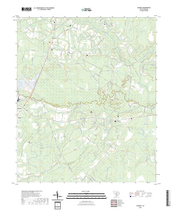
2011 Canadys
Dorchester County, SC
2011 Clubhouse Crossroads
Dorchester County, SC
2011 Maple Cane Swamp
Dorchester County, SC
2011 Pringletown
Dorchester County, SC
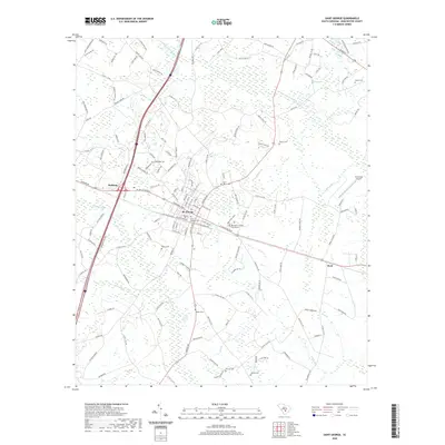
2011 Saint George
Dorchester County, SC
2011 Stallsville
Dorchester County, SC
2014 Canadys
Dorchester County, SC
2014 Clubhouse Crossroads
Dorchester County, SC
2014 Maple Cane Swamp
Dorchester County, SC
2014 Pringletown
Dorchester County, SC
2014 Saint George
Dorchester County, SC
2014 Stallsville
Dorchester County, SC
2017 Canadys
Dorchester County, SC
2017 Clubhouse Crossroads
Dorchester County, SC
2017 Maple Cane Swamp
Dorchester County, SC
2017 Pringletown
Dorchester County, SC
2017 Saint George
Dorchester County, SC
2017 Stallsville
Dorchester County, SC
2020 Canadys
Dorchester County, SC
2020 Clubhouse Crossroads
Dorchester County, SC
2020 Maple Cane Swamp
Dorchester County, SC
2020 Pringletown
Dorchester County, SC
2020 Saint George
Dorchester County, SC
2020 Stallsville
Dorchester County, SC
2024 Canadys
Dorchester County, SC
2024 Clubhouse Crossroads
Dorchester County, SC
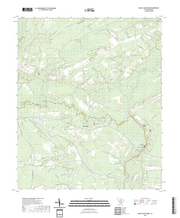
2024 Maple Cane Swamp
Dorchester County, SC
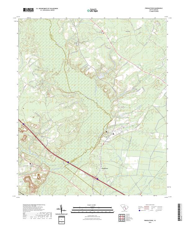
2024 Pringletown
Dorchester County, SC
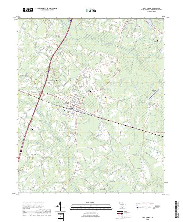
2024 Saint George
Dorchester County, SC
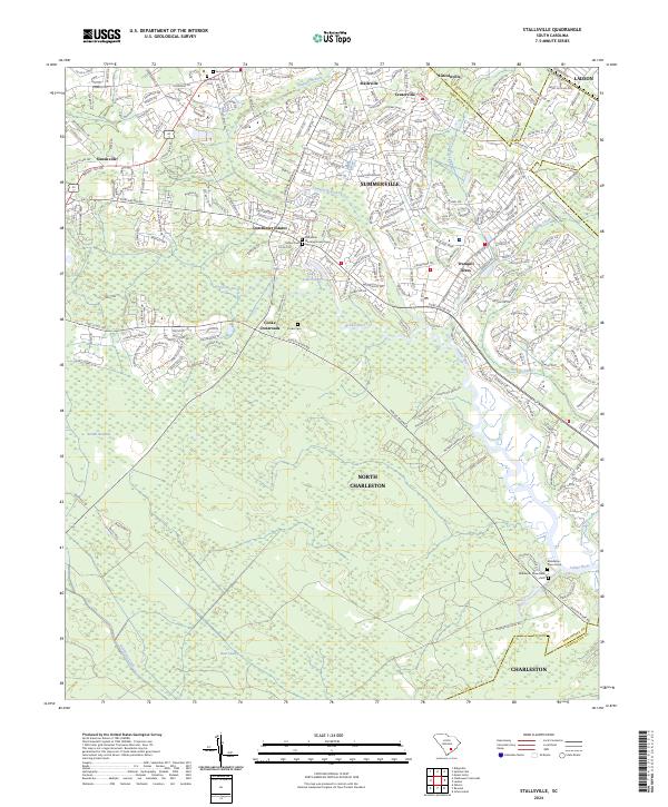
2024 Stallsville
Dorchester County, SC