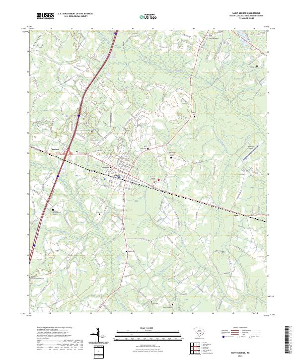
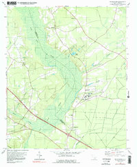
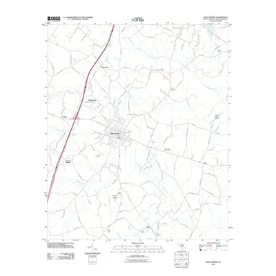
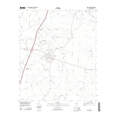
2024 Map of Saint George
USGS Topo · Published 2024About this map
St. George serves as the focal point of this Dorchester County landscape, anchored by the Dorchester County Courthouse and its historic street grid. The settlement pattern reflects a deeply rooted community, with numerous family-named landmarks and cemeteries such as the Moorer Cem, Dukes Cem, and Walters Cem scattered across the surrounding countryside. Transport corridors, including the St George Airport and several major roadways, intersect near the village center, while the smaller communities of Badham and Byrd mark the periphery.
Find a feature on this map
153 named features on this map. Tap any name to fly to it.
Don’t see what you’re looking for? This feature index may not catch every label — zoom into the map to look around manually.
Map Details
Editions of this 2024 Saint George Map
This is the sole edition of this map. No revisions or reprints were ever made.
Historical Maps of Byrd Through Time
34 maps found
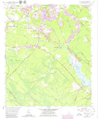
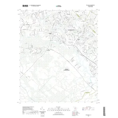
1957 Stallsville
Dorchester County, SC
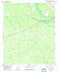
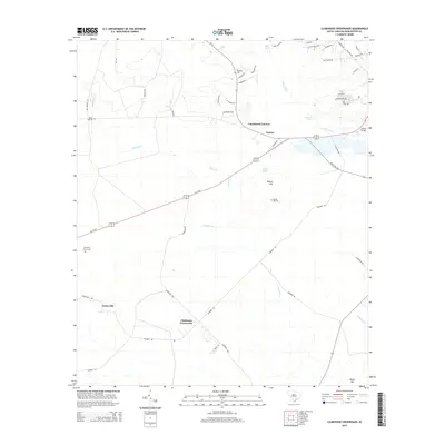
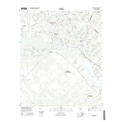
1979 Clubhouse Crossroads
Dorchester County, SC
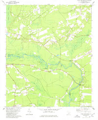
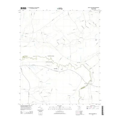
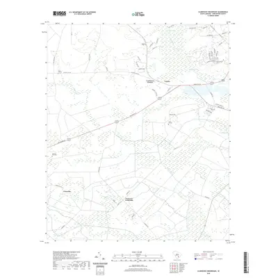
1979 Maple Cane Swamp
Dorchester County, SC
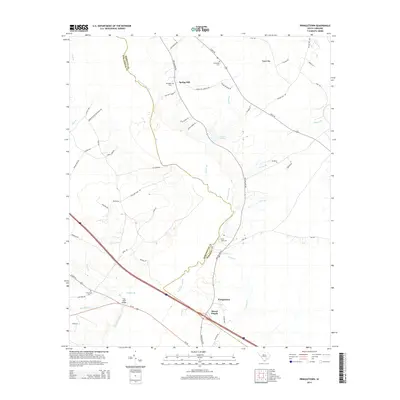
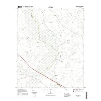
1979 Pringletown
Dorchester County, SC
2011 Canadys
Dorchester County, SC
2011 Clubhouse Crossroads
Dorchester County, SC
2011 Maple Cane Swamp
Dorchester County, SC
2011 Pringletown
Dorchester County, SC
2011 Saint George
Dorchester County, SC
2011 Stallsville
Dorchester County, SC
2014 Canadys
Dorchester County, SC
2014 Clubhouse Crossroads
Dorchester County, SC
2014 Maple Cane Swamp
Dorchester County, SC
2014 Pringletown
Dorchester County, SC
2014 Saint George
Dorchester County, SC
2014 Stallsville
Dorchester County, SC
2017 Canadys
Dorchester County, SC
2017 Clubhouse Crossroads
Dorchester County, SC
2017 Maple Cane Swamp
Dorchester County, SC
2017 Pringletown
Dorchester County, SC
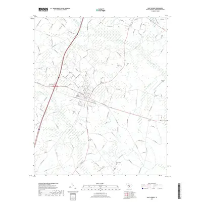
2017 Saint George
Dorchester County, SC
2017 Stallsville
Dorchester County, SC
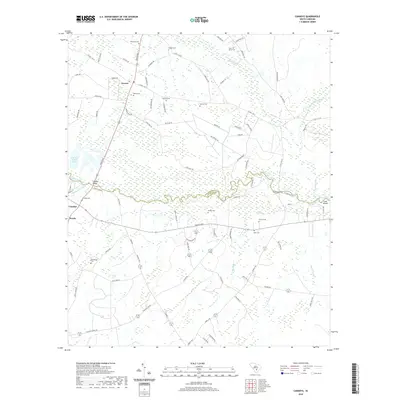
2020 Canadys
Dorchester County, SC
2020 Clubhouse Crossroads
Dorchester County, SC
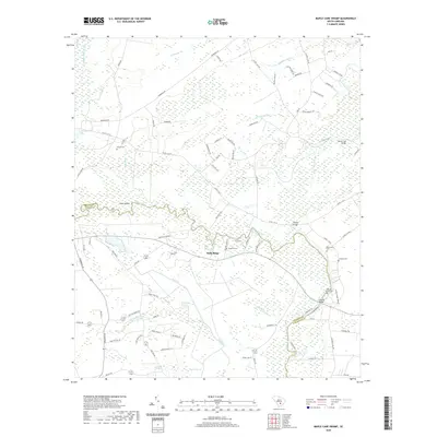
2020 Maple Cane Swamp
Dorchester County, SC
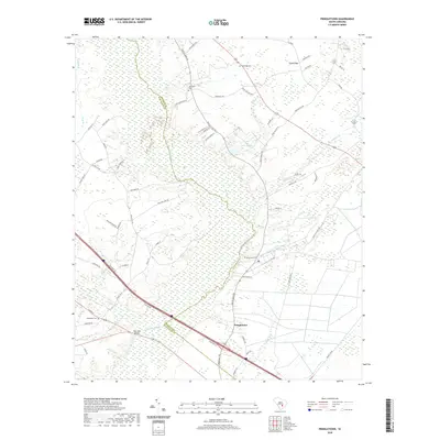
2020 Pringletown
Dorchester County, SC
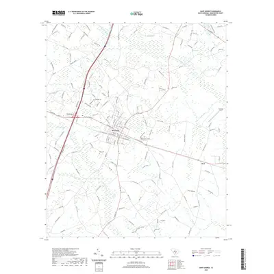
2020 Saint George
Dorchester County, SC
2020 Stallsville
Dorchester County, SC
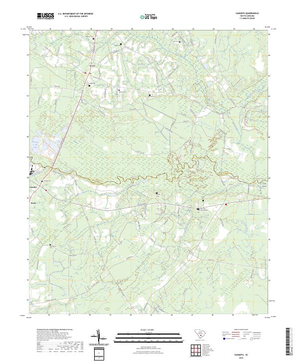
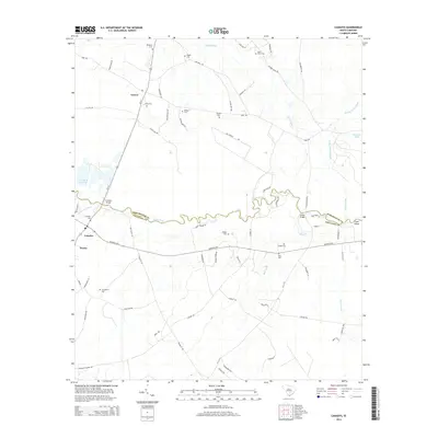
2024 Canadys
Dorchester County, SC
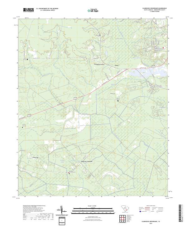
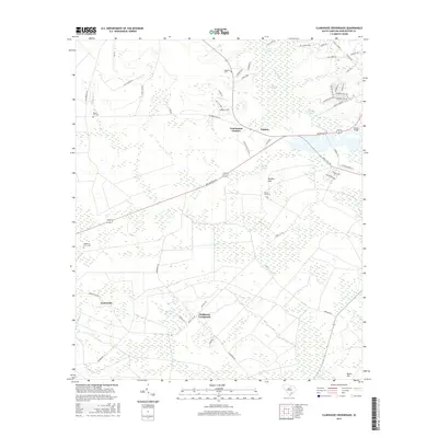
2024 Clubhouse Crossroads
Dorchester County, SC
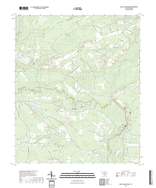
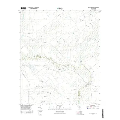
2024 Maple Cane Swamp
Dorchester County, SC
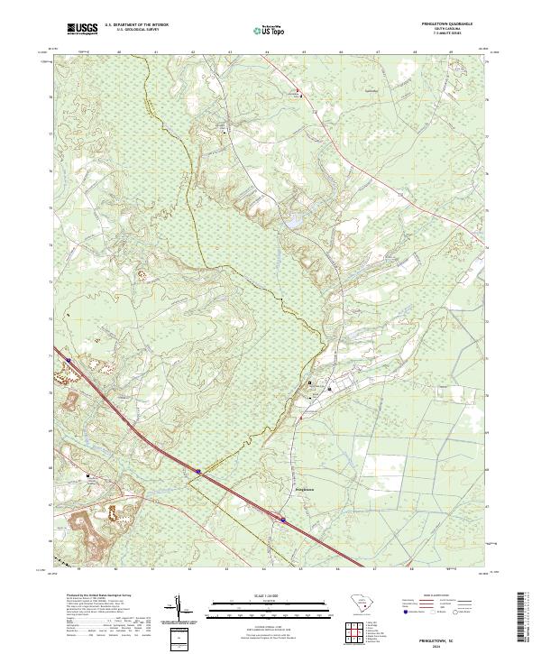
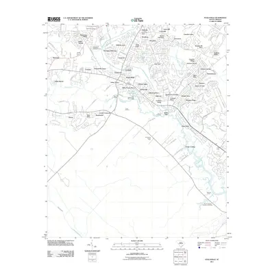
2024 Pringletown
Dorchester County, SC
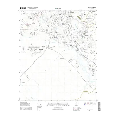
2024 Saint George
Dorchester County, SC
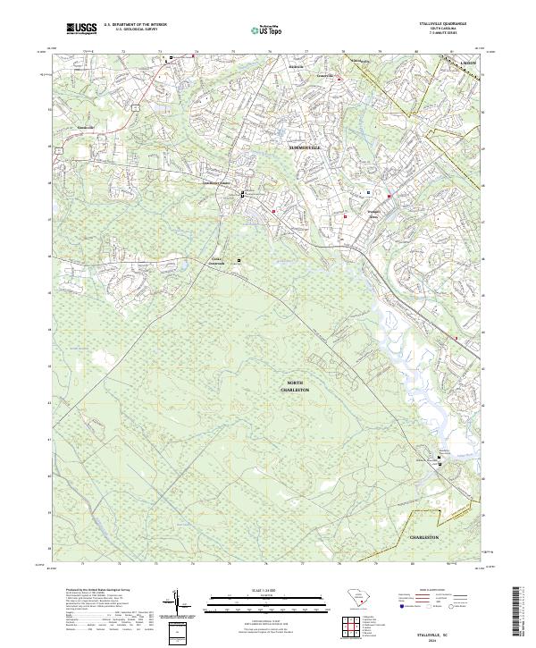
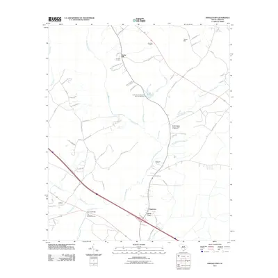
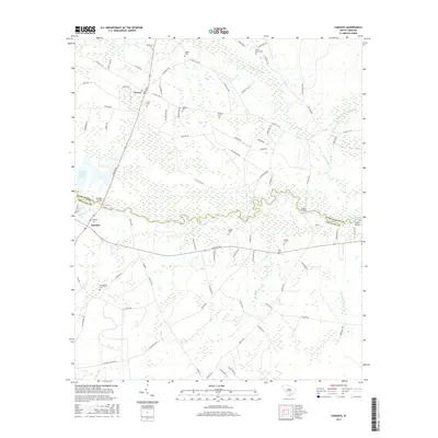
2024 Stallsville
Dorchester County, SC