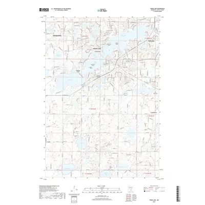
2019 Map of Prior Lake
USGS Topo · Published 2019About this map
Lower Prior Lake and Upper Prior Lake form the center of this 2019 survey, illustrating the complex lacustrine geography of Scott County. The map shows the residential and recreational development surrounding these waters, including the established community of Prior Lake and the smaller settlement of Grainwood. A significant concentration of family and community history is found in the various burial grounds recorded here, such as Saint Pauls Lutheran Cem and Saint Michaels Cem near the town center.
Find a feature on this map
102 named features on this map. Tap any name to fly to it.
Don’t see what you’re looking for? This feature index may not catch every label — zoom into the map to look around manually.
Map Details
Editions of this 2019 Prior Lake Map
This is the sole edition of this map. No revisions or reprints were ever made.
Other maps of this area
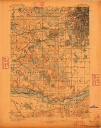
1896 · Minneapolis
USGS Topo · 1:62,500
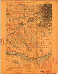
1901 · Minneapolis
USGS Topo · 1:62,500
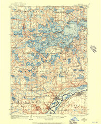
1905 · Minnetonka
USGS Topo · 1:62,500
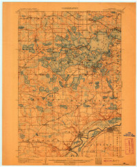
1907 · Minnetonka
USGS Topo · 1:62,500

1953 · Saint Paul
USGS Topo · 1:250,000
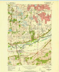
1954 · Bloomington
USGS Topo · 1:24,000
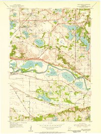
1954 · Eden Prairie
USGS Topo · 1:24,000
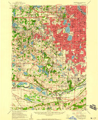
1954 · Minneapolis
USGS Topo · 1:62,500
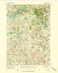
1957 · Prior Lake
USGS Topo · 1:62,500
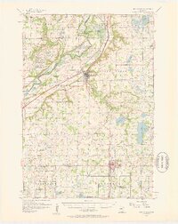
1957 · New Prague
USGS Topo · 1:62,500