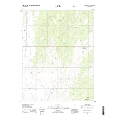
2018 Map of Pritchards Station
USGS Topo · Published 2018About this map
Toiyabe National Forest encompasses the high-altitude terrain shown in this 2018 survey, where the Park Range and Andesite Ridge dominate the central and eastern portions of the landscape. The region's arid character is punctuated by essential water sources that have historically supported transit through this part of Nye County, including Pritchards Spring and Burnt Cabin Spring. These points of water often dictated the movement of people and livestock through the various drainages that cut the terrain, such as Pritchards Canyon and the wide alluvial reach of Hicks Station Wash.
Find a feature on this map
20 named features on this map. Tap any name to fly to it.
Don’t see what you’re looking for? This feature index may not catch every label — zoom into the map to look around manually.
Map Details
Editions of this 2018 Pritchards Station Map
This is the sole edition of this map. No revisions or reprints were ever made.
Other maps of this area

1956 · Tonopah
USGS Topo · 1:250,000

1959 · Tonopah
USGS Topo · 1:250,000

1962 · Tonopah
USGS Topo · 1:250,000

1967 · Moores Station
USGS Topo · 1:62,500

1967 · Moores Station
USGS Topo · 1:24,000

1967 · Chaos Creek
USGS Topo · 1:24,000

1967 · Morey Peak
USGS Topo · 1:24,000

1968 · Morey Peak
USGS Topo · 1:62,500

1968 · Pritchards Station
USGS Topo · 1:62,500

1968 · Fish Springs
USGS Topo · 1:62,500