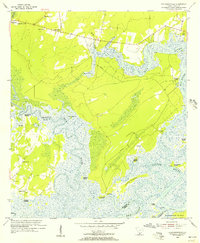
1955 Map of Pritchardville
USGS Topo · Published 1956About this map
The Seaboard Air Line railroad cuts a straight path across the Lowcountry landscape of Beaufort Co and Jasper Co, connecting the small settlements of Pritchard and Pritchardville to the wider region. This mid-century survey reveals an economy deeply tied to the tidal waterways, evidenced by numerous Abandoned Rice Fields along the New River and Cooper River. These vestigial agricultural features suggest a shift in land use from the plantation era toward the maritime and timber activities of the mid-20th century.
Find a feature on this map
40 named features on this map. Tap any name to fly to it.
Don’t see what you’re looking for? This feature index may not catch every label — zoom into the map to look around manually.
Map Details
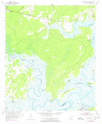
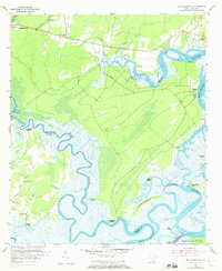
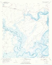
Editions of this 1955 Pritchardville Map
4 editions found
Other maps of this area

1920 · Hardeeville
USGS Topo · 1:62,500

1920 · Okatie
USGS Topo · 1:62,500

1920 · Bluffton
USGS Topo · 1:62,500

1942 · Savannah
USGS Topo · 1:62,500

1942 · Okatie
USGS Topo · 1:62,500

1943 · Hardeeville
USGS Topo · 1:62,500

1945 · Bluffton
USGS Topo · 1:62,500

1947 · Savannah
USGS Topo · 1:250,000

1948 · Savannah
USGS Topo · 1:250,000

1953 · Hardeeville
USGS Topo · 1:62,500