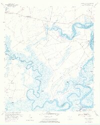
1955 Map of Pritchardville
USGS Topo · Published 1973About this map
Pritchardville and the winding tributaries of the New River and May River anchor this mid-century view of the South Carolina Lowcountry. The landscape is defined by its complex waterway system, where Stony Creek and Rose Dew Creek feed into broader basins, and the Intracoastal Waterway cuts through the marshlands near Daufuskie Island. A legacy of agricultural history is visible in the Abandoned Rice Fields located near Bluff Island, highlighting the former economic structures of the coastal wetlands.
Find a feature on this map
37 named features on this map. Tap any name to fly to it.
Don’t see what you’re looking for? This feature index may not catch every label — zoom into the map to look around manually.
Map Details
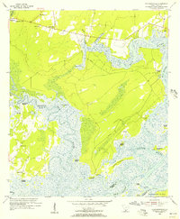
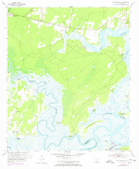
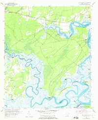
Editions of this 1955 Pritchardville Map
4 editions found
Other maps of this area

1920 · Hardeeville
USGS Topo · 1:62,500

1920 · Okatie
USGS Topo · 1:62,500

1920 · Bluffton
USGS Topo · 1:62,500

1942 · Savannah
USGS Topo · 1:62,500

1942 · Okatie
USGS Topo · 1:62,500

1943 · Hardeeville
USGS Topo · 1:62,500

1945 · Bluffton
USGS Topo · 1:62,500

1947 · Savannah
USGS Topo · 1:250,000

1948 · Savannah
USGS Topo · 1:250,000

1953 · Hardeeville
USGS Topo · 1:62,500