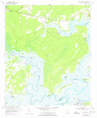
1955 Map of Pritchardville
USGS Topo · Published 1972About this map
Pritchardville and the surrounding Lowcountry landscape are defined by a complex network of tidewater rivers and coastal islands during the mid-1950s. The May River and New River wind through the terrain, separating large land masses like Daufuskie Island and Long Island from the mainland. The cultural geography reveals a deep agricultural and religious history, evidenced by the numerous small churches such as St. Matthews Ch and Mt Zion Ch, and several family or community burial grounds including Shad Cem and Moreland Cem. A significant insight into the region's changing land use is found near the Cooper River, where Abandoned Rice Fields mark the legacy of former tidal cultivation along the marshes. This survey, updated in the early 1970s, also documents the Seaboard Coast Line railroad cutting through the north, while river access points like Good Hope Landing and Glasgow Landing continue to serve the water-based economy.
Find a feature on this map
39 named features on this map. Tap any name to fly to it.
Don’t see what you’re looking for? This feature index may not catch every label — zoom into the map to look around manually.
Map Details
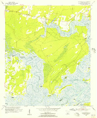
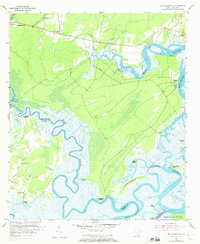
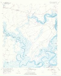
Editions of this 1955 Pritchardville Map
4 editions found
Other maps of this area

1920 · Hardeeville
USGS Topo · 1:62,500

1920 · Okatie
USGS Topo · 1:62,500

1920 · Bluffton
USGS Topo · 1:62,500

1942 · Savannah
USGS Topo · 1:62,500

1942 · Okatie
USGS Topo · 1:62,500

1943 · Hardeeville
USGS Topo · 1:62,500

1945 · Bluffton
USGS Topo · 1:62,500

1947 · Savannah
USGS Topo · 1:250,000

1948 · Savannah
USGS Topo · 1:250,000

1953 · Hardeeville
USGS Topo · 1:62,500