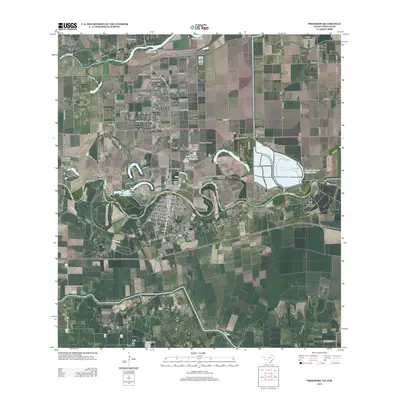
2013 Map of Progreso
USGS Topo · Published 2013About this map
The Rio Grande defines the southern boundary of this South Texas landscape, creating a complex network of oxbow lakes and water management features along the international border. The community of Progreso serves as a central hub, linked to the south by the Progreso Toll Bridge and surrounded by a grid of agricultural roads such as Mile 2 W and S Border Ave. Significant water control infrastructure is visible in the east, including the Mercedes Settling-Basin and the Mercedes District Settling Basin, which support the region's intensive irrigation needs.
Find a feature on this map
68 named features on this map. Tap any name to fly to it.
Don’t see what you’re looking for? This feature index may not catch every label — zoom into the map to look around manually.
Map Details
Editions of this 2013 Progreso Map
This is the sole edition of this map. No revisions or reprints were ever made.
Other maps of this area

1914 · San Juan
USGS Topo · 1:48,000

1916 · San Juan
USGS Topo · 1:62,500

1929 · Santa Maria
USGS Topo · 1:24,000

1929 · La Feria
USGS Topo · 1:24,000

1936 · La Feria
USGS Topo · 1:31,680

1936 · Santa Maria
USGS Topo · 1:31,680

1949 · Mc Allen
USGS Topo · 1:250,000

1953 · Brownsville
USGS Topo · 1:250,000

1954 · McAllen
USGS Topo · 1:250,000
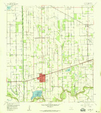
1956 · La Feria
USGS Topo · 1:24,000