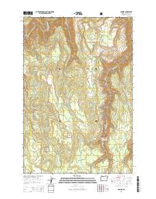
2014 Map of Promise
USGS Topo · Published 2014About this map
Promise stands as the central landmark of this high-plateau landscape in northern Wallowa County, where the terrain is defined by deep drainages and isolated flats. The map details a complex network of seasonal and perennial streams, including the north-flowing Sickfoot Cr and Wallupa Cr, which carve through the timbered sections of the Wallowa National Forest. To the northwest, the Grande Ronde River cuts a prominent path through the topography, serving as a primary hydrological feature for the region.
Find a feature on this map
21 named features on this map. Tap any name to fly to it.
Don’t see what you’re looking for? This feature index may not catch every label — zoom into the map to look around manually.
Map Details
Editions of this 2014 Promise Map
This is the sole edition of this map. No revisions or reprints were ever made.
Other maps of this area

1955 · Grangeville
USGS Topo · 1:250,000

1957 · Sled Springs
USGS Topo · 1:62,500

1959 · Grangeville
USGS Topo · 1:250,000

1964 · Howard Butte
USGS Topo · 1:24,000

1964 · Akers Butte
USGS Topo · 1:24,000

1967 · Wood Butte
USGS Topo · 1:24,000

1967 · Troy
USGS Topo · 1:24,000

1967 · Eden
USGS Topo · 1:24,000

1967 · Elbow Creek
USGS Topo · 1:24,000

1967 · Promise
USGS Topo · 1:24,000