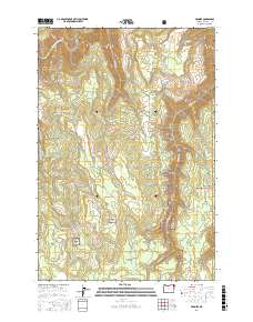
2017 Map of Promise
USGS Topo · Published 2017About this map
Promise sits at the heart of this highland region in Wallowa County, overlooking a landscape defined by deep drainages and timbered ridges within the Wallowa National Forest. The northern reach of the survey is dominated by the winding course of the Grande Ronde River, which carves a path through the canyonlands. High plateaus such as Ray Flat and McNutt Flat indicate the topography of the area, where isolated water sources like Hendersons Pond provided critical resources for early settlers. A network of primitive roads, including Sickfoot Rd and Promise Rd, traces the ridges between numerous tributaries like Sickfoot Cr and Wallupa Cr. This map illustrates the transition from river-bottom canyon floor to the high-elevation timber stands of the Blue Mountains, showing the geographic isolation of these remote northeastern Oregon communities.
Find a feature on this map
22 named features on this map. Tap any name to fly to it.
Don’t see what you’re looking for? This feature index may not catch every label — zoom into the map to look around manually.
Map Details
Editions of this 2017 Promise Map
This is the sole edition of this map. No revisions or reprints were ever made.
Other maps of this area

1955 · Grangeville
USGS Topo · 1:250,000

1957 · Sled Springs
USGS Topo · 1:62,500

1959 · Grangeville
USGS Topo · 1:250,000

1964 · Howard Butte
USGS Topo · 1:24,000

1964 · Akers Butte
USGS Topo · 1:24,000

1967 · Wood Butte
USGS Topo · 1:24,000

1967 · Troy
USGS Topo · 1:24,000

1967 · Eden
USGS Topo · 1:24,000

1967 · Elbow Creek
USGS Topo · 1:24,000

1967 · Promise
USGS Topo · 1:24,000