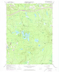
1966 Map of Promised Land
USGS Topo · Published 1974About this map
Promised Land State Park and the surrounding woodlands of the State Forest define this 1960s landscape in Pike County. The area is characterized by a dense network of water bodies and wetlands, including Egypt Meadow Lake, Bruce Lake, and Lake Laura, interspersed with high points like Bear Trap Mountain and High Knob. This topography, dotted with Campgrounds and Picnic Areas around Promised Land Lake, reflects a region heavily dedicated to conservation and public recreation during the mid-20th century.
Find a feature on this map
72 named features on this map. Tap any name to fly to it.
Don’t see what you’re looking for? This feature index may not catch every label — zoom into the map to look around manually.
Map Details
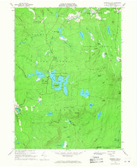
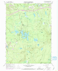
Editions of this 1966 Promised Land Map
3 editions found
Other maps of this area

1919 · Pocono
USGS Topo · 1:62,500

1921 · Pocono
USGS Topo · 1:62,500

1923 · Pocono
USGS Topo · 1:62,500

1924 · Bushkill
USGS Topo · 1:48,000

1928 · Ariel
USGS Topo · 1:62,500

1932 · Ariel
USGS Topo · 1:62,500

1935 · Hawley
USGS Topo · 1:62,500

1938 · Hawley
USGS Topo · 1:62,500

1943 · Bushkill
USGS Topo · 1:62,500

1943 · Pocono
USGS Topo · 1:62,500
Featured Places
- Blooming Grove Township, PA
- Greene Township, PA
- Porter Township, PA
- Tanglewood Estate, Palmyra Township
- Roemersville, Greene Township