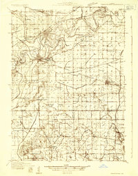
1932 Map of Prophetstown
USGS Topo · Published 1932About this map
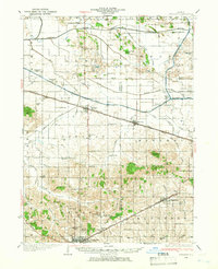
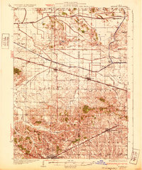
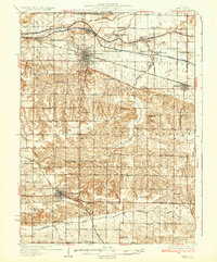
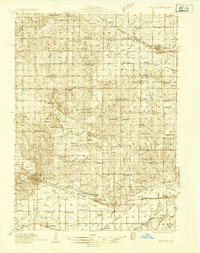
Prophetstown and its surrounding townships in Whiteside, Henry, and Bureau counties are shown here during the early 1930s, defined by an intricate network of water management. The Rock River meanders through the northern section, creating landforms like Indian Island and Millwoods Island, while the southern lowlands are transformed by the Main Drainage Ditch and numerous numbered branches. This period shows a landscape transitioning toward modern infrastructure, with the Great Lakes Pipe Line Co facility and State Highway No 92 appearing alongside the Chicago Burlington and Quincy Railroad. Genealogists will find an incredible density of rural landmarks, including over two dozen country schools such as Hooppole Grove Sch and Prairie Sch, as well as established spiritual centers like St Marys Ch and Leon Ch.
Find a feature on this map
99 named features on this map. Tap any name to fly to it.
Don’t see what you’re looking for? This feature index may not catch every label — zoom into the map to look around manually.
Map Details
Editions of this 1932 Prophetstown Map
This is the sole edition of this map. No revisions or reprints were ever made.
Other maps of this area

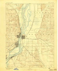
1891 · Clinton
USGS Topo · 1:62,500
1894 · Clinton
USGS Topo · 1:62,500

1899 · Clinton
USGS Topo · 1:125,000
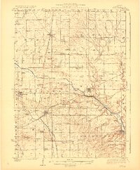
1921 · Buda
USGS Topo · 1:62,500
1923 · Buda
USGS Topo · 1:62,500
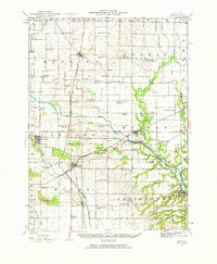
1929 · Annawan
USGS Topo · 1:62,500

1930 · Woodsung
USGS Topo · 1:48,000
1932 · Annawan
USGS Topo · 1:62,500
1934 · Geneseo
USGS Topo · 1:62,500
1934 · Morrison
USGS Topo · 1:48,000