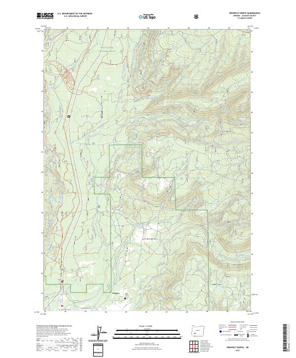
2023 Map of Prospect North
USGS Topo · Published 2023About this map
Prospect serves as the focal point for this survey of the northern Cascades, where the Rogue River National Forest meets a network of water and timber tracks. The landscape is defined by the sharp descent of the Rogue Wild and Scenic River through the Takelma Gorge, a area where the drainage from Ginkgo Creek and Mill Creek feeds into the primary river system. Local history is anchored by the Aiken Family Plot located just north of the town center, providing a specific point of interest for genealogists tracking early families in this corner of Jackson County.
Find a feature on this map
32 named features on this map. Tap any name to fly to it.
Don’t see what you’re looking for? This feature index may not catch every label — zoom into the map to look around manually.
Map Details
Editions of this 2023 Prospect North Map
This is the sole edition of this map. No revisions or reprints were ever made.
Other maps of this area

1891 · Ashland
USGS Topo · 1:250,000

1893 · Ashland
USGS Topo · 1:250,000

1897 · Ashland
USGS Topo · 1:250,000

1944 · Abbott Butte
USGS Topo · 1:62,500

1947 · Abbott Butte
USGS Topo · 1:62,500

1954 · Butte Falls
USGS Topo · 1:62,500

1955 · Rustler Peak
USGS Topo · 1:62,500

1955 · Medford
USGS Topo · 1:250,000

1956 · Prospect
USGS Topo · 1:62,500

1957 · Medford
USGS Topo · 1:250,000