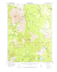
1957 Map of Prospect Peak
USGS Topo · Published 1973About this map
Lassen Volcanic National Park dominates the southern landscape of this mid-century survey, showcasing a geologically active environment shaped by relatively recent volcanic activity. The northeastern portion features the striking Fantastic Lava Beds and Painted Dunes, while the Devastated Area near Crescent Crater provides evidence of more immediate environmental shifts. Historic transport routes cross the terrain, most notably the Emigrant Trail and Noble Trail, which provided passage through this complex landscape for early travelers. Settlement is concentrated along the waterways, with the Old Station (PO) and various campgrounds such as Bridge Campground and Big Springs Campground lining Hat Creek. In the more isolated eastern reaches, the Butte Creek Ranch and Mountain Home stand out against the backdrop of the Lassen National Forest and the Caribou Peak Wild Area.
Find a feature on this map
88 named features on this map. Tap any name to fly to it.
Don’t see what you’re looking for? This feature index may not catch every label — zoom into the map to look around manually.
Map Details
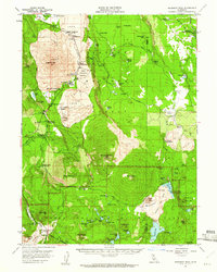
Editions of this 1957 Prospect Peak Map
3 editions found

Other maps of this area

1886 · Lassen Peak
USGS Topo · 1:250,000

1892 · Lassen Peak
USGS Topo · 1:250,000

1894 · Lassen Peak
USGS Topo · 1:250,000

1935 · Burney
USGS Topo · 1:96,000

1935 · Paynes Creek
USGS Topo · 1:96,000

1939 · Burney
USGS Topo · 1:125,000

1939 · Halls Flat
USGS Topo · 1:125,000

1941 · Mineral
USGS Topo · 1:125,000

1955 · Westwood
USGS Topo · 1:250,000

1956 · Lassen Peak
USGS Topo · 1:62,500