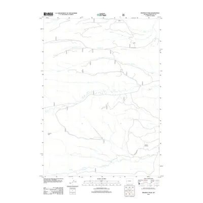
2012 Map of Prospect Peak
USGS Topo · Published 2012About this map
Prospect Peak and Jewett Pinnacle define the high elevation topography of this Sublette County landscape during the early 21st century. The map reveals a complex network of seasonal and perennial drainage systems, including the parallel courses of N Horse Cr and S Horse Cr in the south, while S Beaver Cr and Buck Cr carve the northern reaches. This hydrologic pattern suggests the high-altitude watershed characteristics of the region, where narrow creek beds like Lead Cr and Dry Beaver Cr indicate the runoff paths from the surrounding peaks.
Find a feature on this map
22 named features on this map. Tap any name to fly to it.
Don’t see what you’re looking for? This feature index may not catch every label — zoom into the map to look around manually.
Map Details
Editions of this 2012 Prospect Peak Map
This is the sole edition of this map. No revisions or reprints were ever made.
Other maps of this area

1907 · Gros Ventre
USGS Topo · 1:125,000

1910 · Gros Ventre
USGS Topo · 1:125,000

1921 · Afton
USGS Topo · 1:125,000

1931 · Jackson
USGS Topo · 1:125,000

1935 · Jackson
USGS Topo · 1:125,000

1939 · Big Piney
USGS Topo · 1:125,000

1942 · Big Piney
USGS Topo · 1:125,000

1955 · Driggs
USGS Topo · 1:250,000

1955 · Preston
USGS Topo · 1:250,000

1958 · Driggs
USGS Topo · 1:250,000