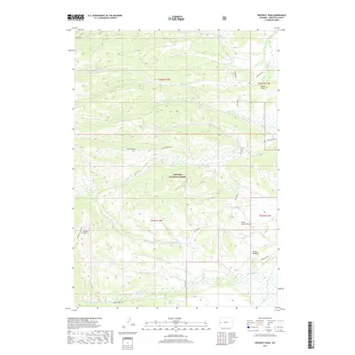
2017 Map of Prospect Peak
USGS Topo · Published 2017About this map
Bridger National Forest dominates this Sublette County landscape, where high-altitude ridges and deep draws define the topography. The terrain rises sharply to Prospect Peak and Horse Mountain, while prominent landmarks like Jewett Pinnacle and Beaver Ridge break the horizon. This area is characterized by a complex drainage system feeding into the Green River basin, with S Horse Creek and N Horse Creek carving through the central mountain blocks.
Find a feature on this map
27 named features on this map. Tap any name to fly to it.
Don’t see what you’re looking for? This feature index may not catch every label — zoom into the map to look around manually.
Map Details
Editions of this 2017 Prospect Peak Map
This is the sole edition of this map. No revisions or reprints were ever made.
Other maps of this area

1907 · Gros Ventre
USGS Topo · 1:125,000

1910 · Gros Ventre
USGS Topo · 1:125,000

1921 · Afton
USGS Topo · 1:125,000

1931 · Jackson
USGS Topo · 1:125,000

1935 · Jackson
USGS Topo · 1:125,000

1939 · Big Piney
USGS Topo · 1:125,000

1942 · Big Piney
USGS Topo · 1:125,000

1955 · Driggs
USGS Topo · 1:250,000

1955 · Preston
USGS Topo · 1:250,000

1958 · Driggs
USGS Topo · 1:250,000