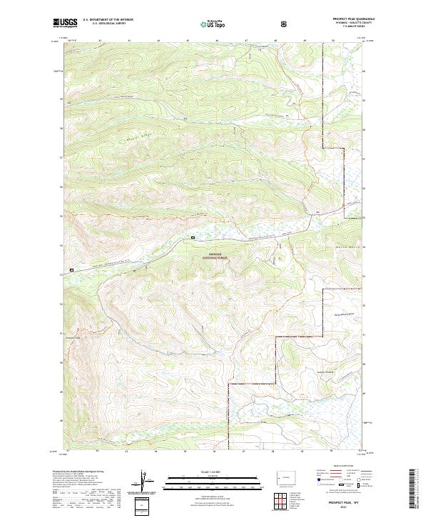
2021 Map of Prospect Peak
USGS Topo · Published 2021About this map
Bridger National Forest dominates this high-country landscape, where the headwaters of the Green River watershed are defined by intricate drainage systems and high ridges. The terrain rises sharply to Prospect Peak and Jewett Pinnacle, overlooking a network of named watercourses like Pass Creek, Cole Creek, and South Beaver Creek. The map documents a significant network of historic routes through the forest, including the Old Indian Trail and the Blind Bull/Horse Creek (E) Trail, which navigate the complex topography of Beaver Ridge. These trails, along with the Prospect Mountain Trail and Horse Mountain Trail, illustrate the long-established paths through this part of Sublette County. On the eastern edge, Merna Butte stands near the terminus of Daniel Merna Road, marking the transition toward more accessible valley lands.
Find a feature on this map
34 named features on this map. Tap any name to fly to it.
Don’t see what you’re looking for? This feature index may not catch every label — zoom into the map to look around manually.
Map Details
Editions of this 2021 Prospect Peak Map
This is the sole edition of this map. No revisions or reprints were ever made.
Other maps of this area

1907 · Gros Ventre
USGS Topo · 1:125,000

1910 · Gros Ventre
USGS Topo · 1:125,000

1921 · Afton
USGS Topo · 1:125,000

1931 · Jackson
USGS Topo · 1:125,000

1935 · Jackson
USGS Topo · 1:125,000

1939 · Big Piney
USGS Topo · 1:125,000

1942 · Big Piney
USGS Topo · 1:125,000

1955 · Driggs
USGS Topo · 1:250,000

1955 · Preston
USGS Topo · 1:250,000

1958 · Driggs
USGS Topo · 1:250,000