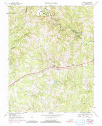
1967 Map of Prospect
USGS Topo · Published 1991About this map
The Norfolk and Western railway corridor serves as the primary east-west spine of this central Virginia landscape, connecting the rural communities of Prospect and Elam. To the north, the winding Appomattox River carves a complex boundary between Prince Edward, Buckingham, and Appomattox Counties, crossed by historic transit points like Goolsby Ford and Venables Bridge. This area is characterized by a dense network of watercourses including Vaughans Creek, Falling Creek, and Harris Creek, which likely dictated early settlement patterns and milling sites such as Allens Mill near Grand View Lake. Genealogists will find a significant distribution of local landmarks, including several country churches like St James Ch, St Pauls Ch, and Olive Branch Ch, alongside family-named sites such as Little Rock Cem and Poags Ch. The map captures a period of transition where traditional river-and-rail infrastructure remained the focal point of local life.
Find a feature on this map
33 named features on this map. Tap any name to fly to it.
Don’t see what you’re looking for? This feature index may not catch every label — zoom into the map to look around manually.
Map Details
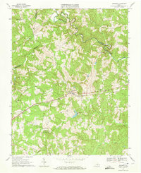
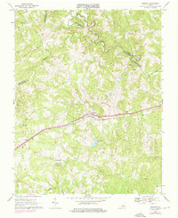
Editions of this 1967 Prospect Map
3 editions found
Other maps of this area

1891 · Farmville
USGS Topo · 1:125,000

1892 · Appomattox
USGS Topo · 1:125,000

1893 · Farmville
USGS Topo · 1:125,000

1947 · Roanoke
USGS Topo · 1:250,000

1956 · Charlotte Court House
USGS Topo · 1:62,500

1958 · Farmville
USGS Topo · 1:62,500

1958 · Keysville
USGS Topo · 1:62,500

1958 · Pamplin City
USGS Topo · 1:62,500

1959 · Roanoke
USGS Topo · 1:250,000

1963 · Roanoke
USGS Topo · 1:250,000