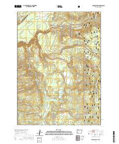
2020 Map of Prospect South
USGS Topo · Published 2020About this map
The Rogue River and its complex network of tributaries define this section of the Southern Cascades, where the river's main stem is joined by the Middle Fork Rogue River and South Fork Rogue River. Notable vertical features like Barr Creek Falls and Mill Creek Falls highlight the dramatic drops in elevation near the northern boundary. The landscape is a mix of high-altitude drainages and distinct openings such as Carney Flat and Elk Glade, which break the dense canopy of the Rogue River National Forest.
Find a feature on this map
54 named features on this map. Tap any name to fly to it.
Don’t see what you’re looking for? This feature index may not catch every label — zoom into the map to look around manually.
Map Details
Editions of this 2020 Prospect South Map
This is the sole edition of this map. No revisions or reprints were ever made.
Other maps of this area

1891 · Ashland
USGS Topo · 1:250,000

1893 · Ashland
USGS Topo · 1:250,000

1897 · Ashland
USGS Topo · 1:250,000

1944 · Abbott Butte
USGS Topo · 1:62,500

1947 · Abbott Butte
USGS Topo · 1:62,500

1954 · Butte Falls
USGS Topo · 1:62,500

1955 · Rustler Peak
USGS Topo · 1:62,500

1955 · Medford
USGS Topo · 1:250,000

1956 · Prospect
USGS Topo · 1:62,500

1957 · Medford
USGS Topo · 1:250,000