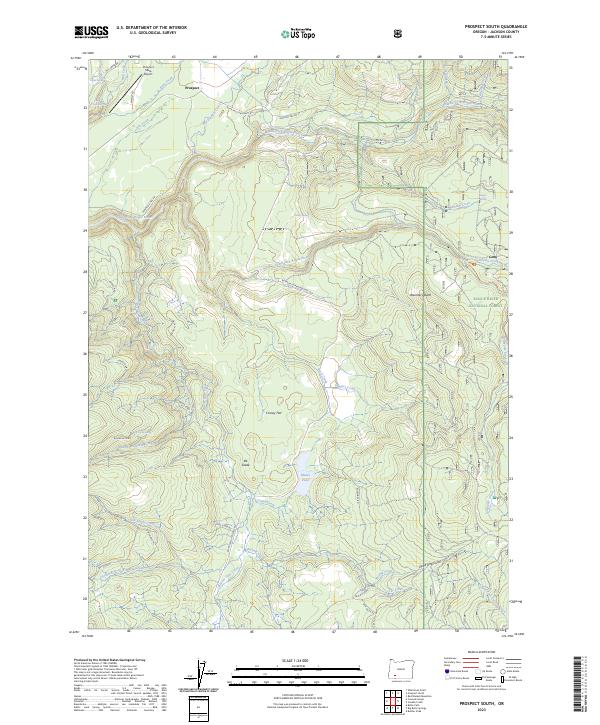
2023 Map of Prospect South
USGS Topo · Published 2023About this map
Prospect sits at the northern edge of this high-elevation terrain where the Rogue River system carves through the volcanic landscape of the Rogue River National Forest. The area is defined by its dramatic verticality, highlighted by the presence of Barr Creek Falls and Mill Creek Falls near the confluence of Mill Creek and Barr Creek. Transport and utility infrastructure are central to the region's character, with the Prospect State Airport and a network of specialized routes like the Peninsula Fire Rd and Butte Falls-Prospect Rd facilitating forest management and local travel.
Find a feature on this map
52 named features on this map. Tap any name to fly to it.
Don’t see what you’re looking for? This feature index may not catch every label — zoom into the map to look around manually.
Map Details
Editions of this 2023 Prospect South Map
This is the sole edition of this map. No revisions or reprints were ever made.
Other maps of this area

1891 · Ashland
USGS Topo · 1:250,000

1893 · Ashland
USGS Topo · 1:250,000

1897 · Ashland
USGS Topo · 1:250,000

1944 · Abbott Butte
USGS Topo · 1:62,500

1947 · Abbott Butte
USGS Topo · 1:62,500

1954 · Butte Falls
USGS Topo · 1:62,500

1955 · Rustler Peak
USGS Topo · 1:62,500

1955 · Medford
USGS Topo · 1:250,000

1956 · Prospect
USGS Topo · 1:62,500

1957 · Medford
USGS Topo · 1:250,000