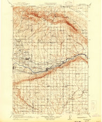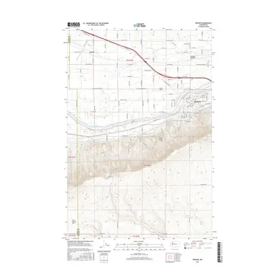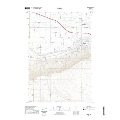
1965 Map of Prosser
USGS Topo · Published 1966About this map
The Yakima River snakes through a landscape defined by industrial irrigation and agricultural expansion in the mid-1960s. The Yakima Valley floor is a network of engineered water systems, including the Sunnyside Canal and Chandler Canal, which supported the settlements of Prosser, Grandview, and Mabton. In contrast to the irrigated lowlands, the Horse Heaven Hills rise to the south, characterized by dry plateaus like Missouri Flats and deep erosional features such as Glade Canyon and Coyote Canyon. The presence of the Northern Pacific railroad tracks and the Old Inland Empire Highway highlights the era's transport corridors. Local history is preserved in rural landmarks like Mabton Cem, Byron Cem, and School No 5, while the Young Ranch and Planview mark family-named outposts on the higher ground.
Find a feature on this map
41 named features on this map. Tap any name to fly to it.
Don’t see what you’re looking for? This feature index may not catch every label — zoom into the map to look around manually.
Map Details
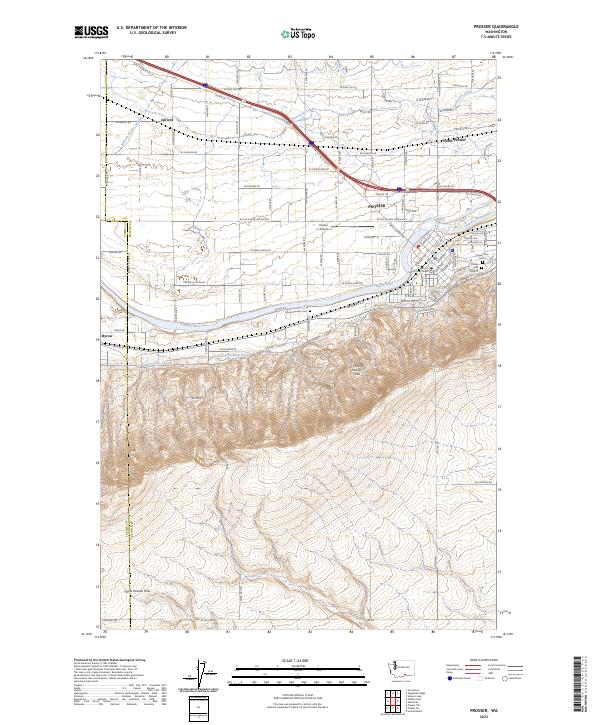
Editions of this 1965 Prosser Map
This is the sole edition of this map. No revisions or reprints were ever made.
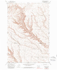
Historical Maps of Grandview Through Time
9 maps found