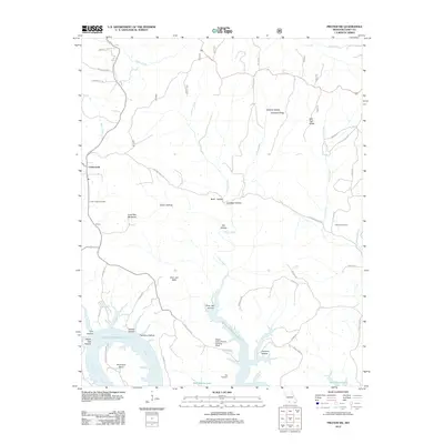
2012 Map of Protem SW
USGS Topo · Published 2012About this map
The White River valley and its transition into the waters of Bull Shoals Lake dominate this Taney County landscape. This 2012 survey illustrates the rugged southern Missouri terrain, defined by a complex network of hollows such as Girten Hollow, Thornton Hollow, and Clemens Hollow that drain toward the reservoir. The small settlement of Cedarcreek serves as a local hub near the Cedar Creek Cemetery, while the presence of the Bright Elbow Ranch Landing Field suggests the modern adaptation of the land for private aviation alongside traditional ranching. Higher elevations are marked by distinctive landmarks like Lone Tree Mountain and Poor Joe Bald, which overlook the winding reach of Horseshoe Bend. The map documents a landscape where quiet rural life is etched into the ridges, from Cardwell Ridge to the remote valley at Groom.
Find a feature on this map
51 named features on this map. Tap any name to fly to it.
Don’t see what you’re looking for? This feature index may not catch every label — zoom into the map to look around manually.
Map Details
Editions of this 2012 Protem SW Map
This is the sole edition of this map. No revisions or reprints were ever made.
Other maps of this area

1893 · Yellville
USGS Topo · 1:125,000

1903 · Yellville
USGS Topo · 1:125,000

1904 · Harrison
USGS Topo · 1:125,000

1905 · Harrison
USGS Topo · 1:125,000

1905 · Yellville
USGS Topo · 1:125,000

1907 · Forsyth
USGS Topo · 1:125,000

1929 · Yellville
USGS Topo · 1:125,000

1943 · Protem
USGS Topo · 1:62,500

1945 · Harrison
USGS Topo · 1:250,000

1949 · Harrison
USGS Topo · 1:250,000