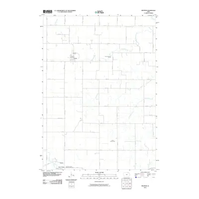
2010 Map of Protivin
USGS Topo · Published 2010About this map
Protivin stands as a focal point in this northeast Iowa landscape, centered around the Protivin Post Office and the Holy Trinity Cemetery. The surrounding countryside is defined by the winding paths of Bohemian Creek and Wonder Creek, which cut through a strictly organized grid of agricultural roads like Yankee Ave and Co Rd B16. The heritage of the area is evident in its naming, particularly at the Bohemian National Cemetery east of the main settlement. Further south, the community of Little Turkey sits near the banks of the Little Turkey River, accompanied by multiple burial grounds including the Saint Marys Catholic Cemetery of Little Turkey. This area illustrates a typical Midwestern township structure where small rural centers provided essential services and spiritual hubs for the surrounding farming families.
Find a feature on this map
46 named features on this map. Tap any name to fly to it.
Don’t see what you’re looking for? This feature index may not catch every label — zoom into the map to look around manually.
Map Details
Editions of this 2010 Protivin Map
This is the sole edition of this map. No revisions or reprints were ever made.
Other maps of this area

1906 · Decorah
USGS Topo · 1:125,000

1954 · Mason City
USGS Topo · 1:250,000

1957 · Mason City
USGS Topo · 1:250,000

1958 · Mason City
USGS Topo · 1:250,000

1958 · La Crosse
USGS Topo · 1:250,000

1961 · La Crosse
USGS Topo · 1:250,000

1965 · La Crosse
USGS Topo · 1:250,000

1975 · Decorah 3 NW
USGS Topo · 1:24,000

1975 · Decorah 2 SW
USGS Topo · 1:24,000

1976 · La Crosse
USGS Topo · 1:250,000