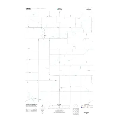
2013 Map of Protivin
USGS Topo · Published 2013About this map
Protivin sits at the heart of this agricultural survey in Howard County, where a grid of rural roads connects established family farms and small crossings. The landscape is defined by the winding course of Bohemian Cr, which meanders eastward through the northern portion of the quadrangle. Further south, the terrain transitions toward the valley of the Little Turkey River near the community of Little Turkey. This map captures a specific moment in the rural development of the region, showing the density of farmsteads such as Albertson Farms and specialized infrastructure like the Jirak Airport near the junction of Co HWY-v58 and 140th St. The inclusion of local names like Poverty Hollow Rd and Timber Rd provides a detailed view of the localized geography used by residents in the early 21st century.
Find a feature on this map
49 named features on this map. Tap any name to fly to it.
Don’t see what you’re looking for? This feature index may not catch every label — zoom into the map to look around manually.
Map Details
Editions of this 2013 Protivin Map
This is the sole edition of this map. No revisions or reprints were ever made.
Other maps of this area

1906 · Decorah
USGS Topo · 1:125,000

1954 · Mason City
USGS Topo · 1:250,000

1957 · Mason City
USGS Topo · 1:250,000

1958 · Mason City
USGS Topo · 1:250,000

1958 · La Crosse
USGS Topo · 1:250,000

1961 · La Crosse
USGS Topo · 1:250,000

1965 · La Crosse
USGS Topo · 1:250,000

1975 · Decorah 3 NW
USGS Topo · 1:24,000

1975 · Decorah 2 SW
USGS Topo · 1:24,000

1976 · La Crosse
USGS Topo · 1:250,000