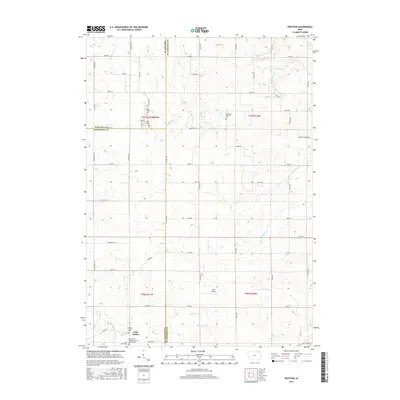
2015 Map of Protivin
USGS Topo · Published 2015About this map
Protivin anchors the northern portion of this landscape, situated at the intersection of Howard and Winneshiek counties. The surrounding terrain is defined by a dense grid of rural roads and the winding paths of Bohemian Cr and Wonder Cr. The map reveals a deeply rooted community heritage, evidenced by several religious and commemorative sites such as the Holy Trinity Cem and the Bohemian National Cem.
Find a feature on this map
59 named features on this map. Tap any name to fly to it.
Don’t see what you’re looking for? This feature index may not catch every label — zoom into the map to look around manually.
Map Details
Editions of this 2015 Protivin Map
This is the sole edition of this map. No revisions or reprints were ever made.
Other maps of this area

1906 · Decorah
USGS Topo · 1:125,000

1954 · Mason City
USGS Topo · 1:250,000

1957 · Mason City
USGS Topo · 1:250,000

1958 · Mason City
USGS Topo · 1:250,000

1958 · La Crosse
USGS Topo · 1:250,000

1961 · La Crosse
USGS Topo · 1:250,000

1965 · La Crosse
USGS Topo · 1:250,000

1975 · Decorah 3 NW
USGS Topo · 1:24,000

1975 · Decorah 2 SW
USGS Topo · 1:24,000

1976 · La Crosse
USGS Topo · 1:250,000