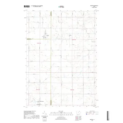
2018 Map of Protivin
USGS Topo · Published 2018About this map
Protivin sits at the intersection of three Iowa counties, serving as a cultural hub for a landscape defined by rolling agricultural fields and quiet creek valleys. This survey illustrates the intricate rural network near the border of Howard, Chickasaw, and Winneshiek counties, where the community of Little Turkey and the banks of the Little Turkey River mark the southern reach of the map. The area's heritage is deeply rooted in its religious and ethnic settlements, evidenced by the central position of the Holy Trinity Cem and the distant Bohemian National Cem to the east.
Find a feature on this map
58 named features on this map. Tap any name to fly to it.
Don’t see what you’re looking for? This feature index may not catch every label — zoom into the map to look around manually.
Map Details
Editions of this 2018 Protivin Map
This is the sole edition of this map. No revisions or reprints were ever made.
Other maps of this area

1906 · Decorah
USGS Topo · 1:125,000

1954 · Mason City
USGS Topo · 1:250,000

1957 · Mason City
USGS Topo · 1:250,000

1958 · Mason City
USGS Topo · 1:250,000

1958 · La Crosse
USGS Topo · 1:250,000

1961 · La Crosse
USGS Topo · 1:250,000

1965 · La Crosse
USGS Topo · 1:250,000

1975 · Decorah 3 NW
USGS Topo · 1:24,000

1975 · Decorah 2 SW
USGS Topo · 1:24,000

1976 · La Crosse
USGS Topo · 1:250,000