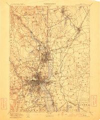
1894 Map of Providence
USGS Topo · Published 1911About this map
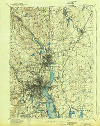
Industrial nodes and dense rail networks define the Blackstone River valley in the late nineteenth century. Large textile operations like the Sayles Bleachery in Saylesville and the Dunnell Print Works near the Seekonk River anchor local communities, while the Providence and Worcester R.R. and several branches of the N.Y. N.H. & H. R.R. facilitate the region's massive production capacity.
Find a feature on this map
177 named features on this map. Tap any name to fly to it.
Don’t see what you’re looking for? This feature index may not catch every label — zoom into the map to look around manually.
Map Details
Editions of this 1894 Providence Map
10 editions found

1894 edition
15.7 x 19.9 inches
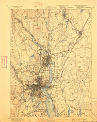
1898 edition
15.8 x 19.8 inches
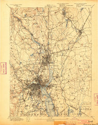
1903 edition
15.8 x 20.1 inches
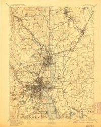
1907 edition
15.7 x 19.8 inches
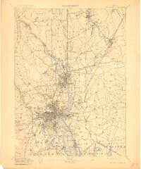
1911 edition
16.63 x 19.98 inches
1911 edition
16.4 x 19.8 inches
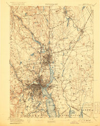
1919 edition
15.7 x 19.8 inches
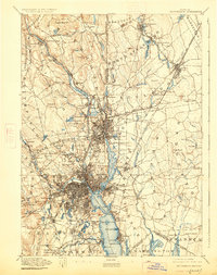
1926 edition
15.7 x 19.9 inches
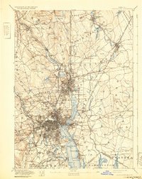
1932 edition
15.7 x 19.8 inches
1939 edition
15.7 x 19.7 inches
Other maps of this area

1885 · Taunton
USGS Topo · 1:62,500

1886 · Blackstone
USGS Topo · 1:62,500

1886 · Dedham
USGS Topo · 1:62,500

1887 · Franklin
USGS Topo · 1:62,500

1887 · Providence
USGS Topo · 1:62,500

1888 · Fall River
USGS Topo · 1:62,500

1888 · Taunton
USGS Topo · 1:62,500

1889 · Providence
USGS Topo · 1:62,500

1889 · Blackstone
USGS Topo · 1:62,500

1889 · Franklin
USGS Topo · 1:62,500