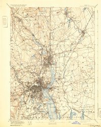
1894 Map of Providence
USGS Topo · Published 1932About this map
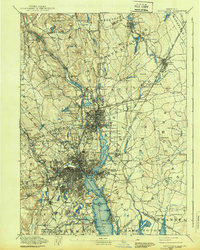
The Blackstone River and Providence River drive the industrial character of this late nineteenth-century urban landscape. The dense concentration of mills and manufacturing works, such as the Sayles Bleachery and Conant Thread Co. in Pawtucket, highlights the region's historical role as a textile powerhouse. Rail networks like the Providence and Worcester R. R. and the Boston and Providence R. R. thread through the river valleys, connecting burgeoning neighborhoods from Central Falls down to the core of Providence. Outside the urban center, landmarks like Neutaconkanut Hill and Copper Mine Hill rise above the surrounding terrain, while the coast features curious names like Starve Goat Island and Pomham Rock. This survey provides a look at the infrastructure of the Gilded Age, from the Butler Hospital grounds to the developing Roger Williams Park, as the city expanded its footprint across the Moshassuck River and Woonasquatucket River valleys.
Find a feature on this map
176 named features on this map. Tap any name to fly to it.
Don’t see what you’re looking for? This feature index may not catch every label — zoom into the map to look around manually.
Map Details
Editions of this 1894 Providence Map
10 editions found

1894 edition
15.7 x 19.9 inches
1898 edition
15.8 x 19.8 inches
1903 edition
15.8 x 20.1 inches
1907 edition
15.7 x 19.8 inches
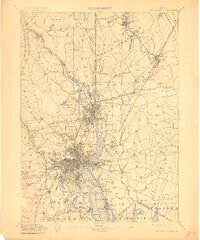
1911 edition
16.63 x 19.98 inches
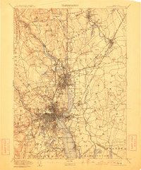
1911 edition
16.4 x 19.8 inches
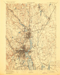
1919 edition
15.7 x 19.8 inches
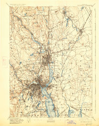
1926 edition
15.7 x 19.9 inches
1932 edition
15.7 x 19.8 inches
1939 edition
15.7 x 19.7 inches
Other maps of this area

1885 · Taunton
USGS Topo · 1:62,500

1886 · Blackstone
USGS Topo · 1:62,500

1886 · Dedham
USGS Topo · 1:62,500

1887 · Franklin
USGS Topo · 1:62,500

1887 · Providence
USGS Topo · 1:62,500

1888 · Fall River
USGS Topo · 1:62,500

1888 · Taunton
USGS Topo · 1:62,500

1889 · Providence
USGS Topo · 1:62,500

1889 · Blackstone
USGS Topo · 1:62,500

1889 · Franklin
USGS Topo · 1:62,500