
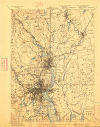
1894 Map of Providence
USGS Topo · Published 1894About this map
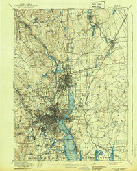
Industrial expansion along the Blackstone River and Seekonk River defines this late nineteenth-century survey. The dense grid of Providence and Pawtucket shows a region dominated by manufacturing, where specialized facilities like the Sayles Bleachery, Conant Thread Co., and Dunnell Print Works sit alongside workers' settlements. Social infrastructure of the era is remarkably visible, including the Butler Hospital, the Dexter Asylum, and the Reform School.
Find a feature on this map
185 named features on this map. Tap any name to fly to it.
Don’t see what you’re looking for? This feature index may not catch every label — zoom into the map to look around manually.
Map Details
Editions of this 1894 Providence Map
10 editions found
1894 edition
15.7 x 19.9 inches
1898 edition
15.8 x 19.8 inches
1903 edition
15.8 x 20.1 inches
1907 edition
15.7 x 19.8 inches
1911 edition
16.63 x 19.98 inches
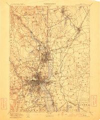
1911 edition
16.4 x 19.8 inches
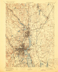
1919 edition
15.7 x 19.8 inches
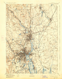
1926 edition
15.7 x 19.9 inches
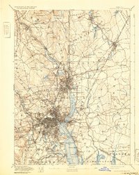
1932 edition
15.7 x 19.8 inches
1939 edition
15.7 x 19.7 inches
Other maps of this area

1885 · Taunton
USGS Topo · 1:62,500

1886 · Blackstone
USGS Topo · 1:62,500

1886 · Dedham
USGS Topo · 1:62,500

1887 · Franklin
USGS Topo · 1:62,500

1887 · Providence
USGS Topo · 1:62,500

1888 · Fall River
USGS Topo · 1:62,500

1888 · Taunton
USGS Topo · 1:62,500

1889 · Providence
USGS Topo · 1:62,500

1889 · Blackstone
USGS Topo · 1:62,500

1889 · Franklin
USGS Topo · 1:62,500