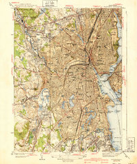
1939 Map of Providence
USGS Topo · Published 1939About this map
Providence is depicted here as a dense urban center during the late 1930s, defined by its tightly packed neighborhoods and major institutional campuses. The city's intellectual and political heart is clearly visible, anchored by Brown University on the east side and the State Capitol overlooking the downtown area. The industrial heritage of the region is traced by the Woonasquatucket River, which winds through historic mill districts like Olneyville and Dyerville before meeting the salt water at Fox Point.
Find a feature on this map
163 named features on this map. Tap any name to fly to it.
Don’t see what you’re looking for? This feature index may not catch every label — zoom into the map to look around manually.
Map Details
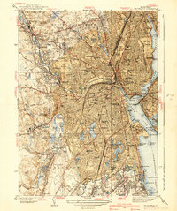
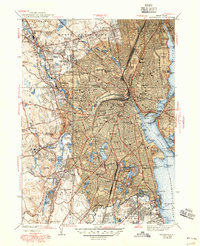
Editions of this 1939 Providence Map
3 editions found
Other maps of this area

1887 · Providence
USGS Topo · 1:62,500

1889 · Providence
USGS Topo · 1:62,500

1889 · Burrillville
USGS Topo · 1:62,500

1890 · Narragansett Bay
USGS Topo · 1:62,500

1890 · Kent
USGS Topo · 1:62,500

1892 · Narragansett Bay
USGS Topo · 1:62,500

1894 · Burrillville
USGS Topo · 1:62,500

1894 · Kent
USGS Topo · 1:62,500

1894 · Providence
USGS Topo · 1:62,500

1915 · Burrillville
USGS Topo · 1:62,500