Loading...
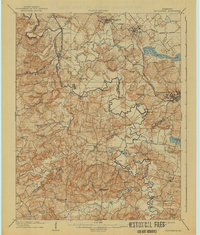
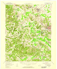
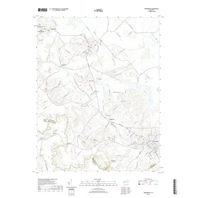
Loading map...1909 Map of Providence
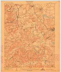
USGS Topo · Published 1941About this map
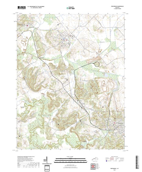
The Tradewater River winds deeply through this landscape, defining the boundaries between Webster, Union, Crittenden, Caldwell, and Hopkins counties. At the turn of the twentieth century, the region was anchored by the growing mining and agricultural hub of Providence and the rail-connected towns of Wheatcroft and Clay. The mapping captures a dense network of river crossings essential to local commerce before widespread bridge construction, including Rices Mill Jericho Ford, Montezuma Ford, and Baldwin Ford.
Find a feature on this map
79 named features on this map. Tap any name to fly to it.
Don’t see what you’re looking for? This feature index may not catch every label — zoom into the map to look around manually.
Map Details
Date Portrayed1909
Date Published1941
PublisherU.S. Geological Survey
Map TypeTopographic
Scale1:62,500
Physical Dimensions16.9 x 19.9 inches
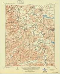
Editions of this 1909 Providence Map
3 editions found
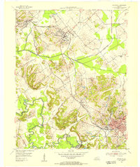
Historical Maps of Providence Through Time
8 maps found
Featured Locations
Source Details
SourceU.S. Geological Survey
CopyrightPublic Domain