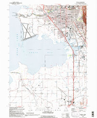
1993 Map of Provo
USGS Topo · Published 1994About this map
Utah Lake and the expansive Provo Bay dominate the western landscape of this 1993 edition, illustrating the complex relationship between the urban centers and the waterfront. The city of Provo is shown in detail, anchored by the campus of Brigham Young University and the medical infrastructure of the Utah Valley Regional Medical Center. A distinct grid of residential and civic life is marked by numerous neighborhood schools like Dixon Junior High School and Farrer Junior High School, alongside local landmarks such as the Pioneer Museum and Provo City Cem. To the south, the landscape transitions into the agricultural and industrial zones near Palmyra and the Spanish Fork-Springville Airport. The presence of the Jordan-Provo Canal and the Provo River feeding into the lake highlight the critical water management systems that supported the growth of these communities along the Union Pacific rail lines.
Find a feature on this map
58 named features on this map. Tap any name to fly to it.
Don’t see what you’re looking for? This feature index may not catch every label — zoom into the map to look around manually.
Map Details
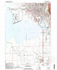
Editions of this 1993 Provo Map
2 editions found
Other maps of this area

1885 · Salt Lake
USGS Topo · 1:250,000

1948 · Spanish Fork
USGS Topo · 1:24,000

1948 · Orem
USGS Topo · 1:24,000

1948 · Orem
USGS Topo · 1:62,500

1948 · Springville
USGS Topo · 1:24,000

1948 · Provo
USGS Topo · 1:24,000

1948 · Bridal Veil Falls
USGS Topo · 1:24,000

1949 · Provo
USGS Topo · 1:62,500

1949 · Spanish Fork Peak
USGS Topo · 1:24,000

1950 · Orem
USGS Topo · 1:24,000