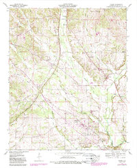
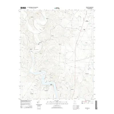
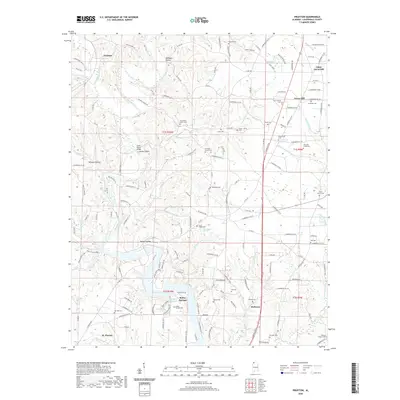
1952 Map of Pruitton
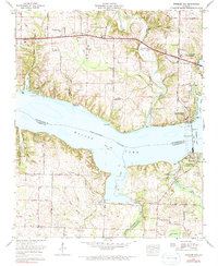
USGS Topo · Published 1988About this map
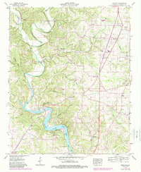
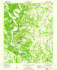
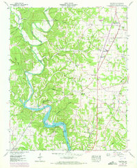
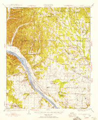
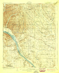
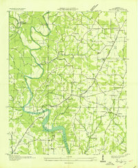
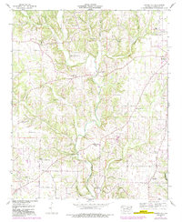
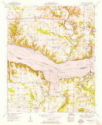
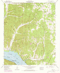
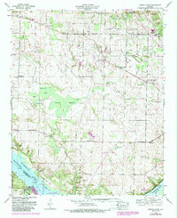
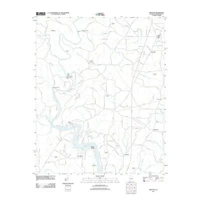
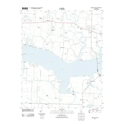
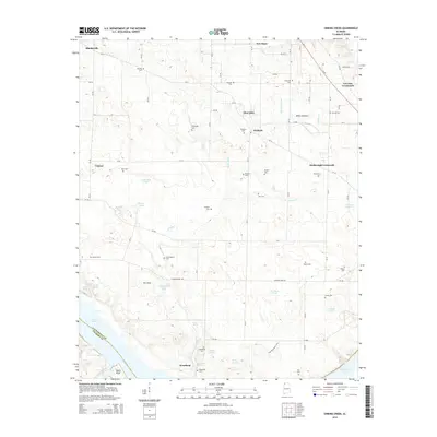
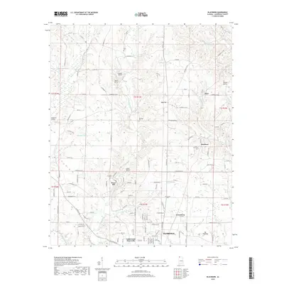
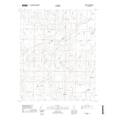
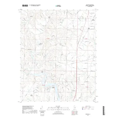
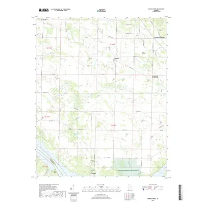
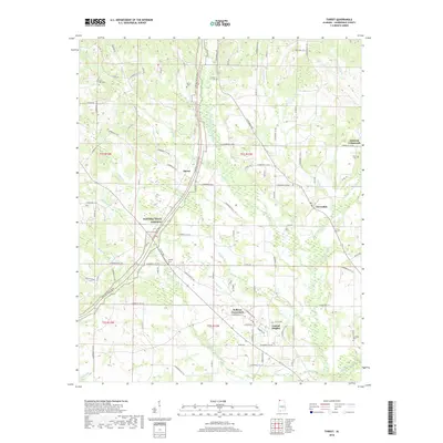
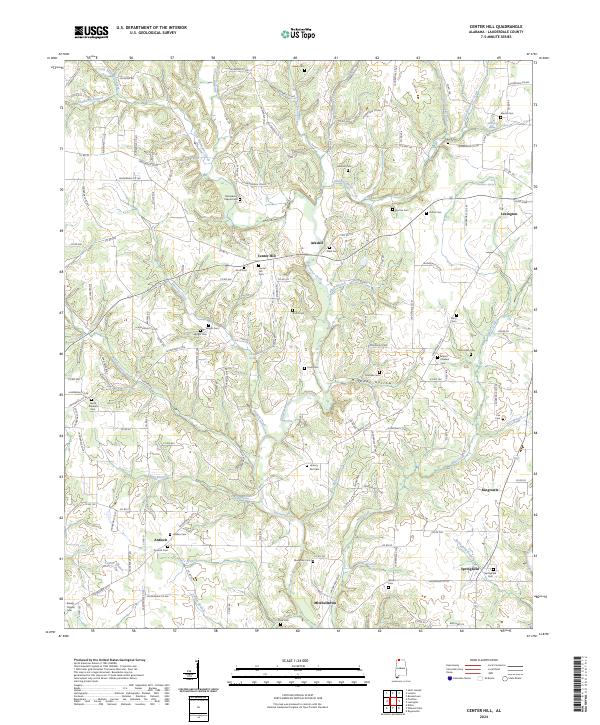
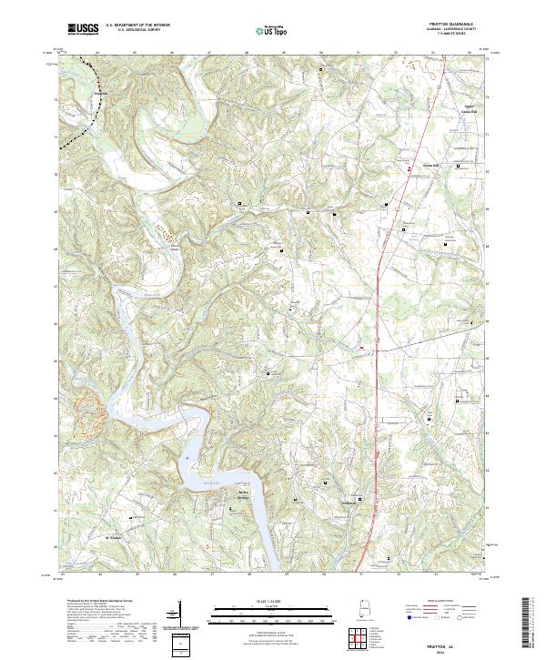
Shoal Creek dominates this north Alabama landscape, winding south through deep bends toward the wide waters of Wilson Lake. The terrain is characterized by a dense network of branches and hollows, such as Wildcat Hollow and Canerday Branch, which dictate the placement of early settlements and road networks. The primary thoroughfare, the Jackson Highway, cuts through the eastern portion of the quadrangle, connecting the communities of Green Hill and Midway.
Find a feature on this map
66 named features on this map. Tap any name to fly to it.
Don’t see what you’re looking for? This feature index may not catch every label — zoom into the map to look around manually.
Map Details
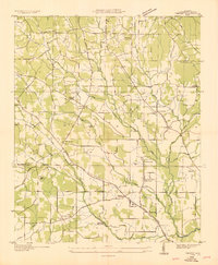
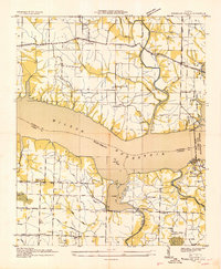
Editions of this 1952 Pruitton Map
3 editions found
Historical Maps of Saint Florian Through Time
52 maps found
1924 Gravelly Springs
Lauderdale County, AL
1926 Gravelly Springs
Lauderdale County, AL
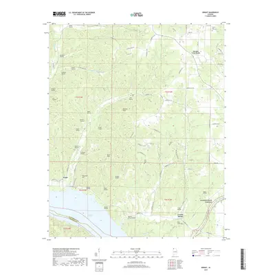
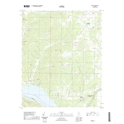
1935 Wright
Lauderdale County, AL
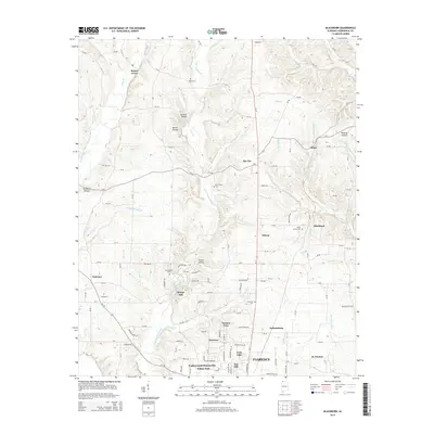
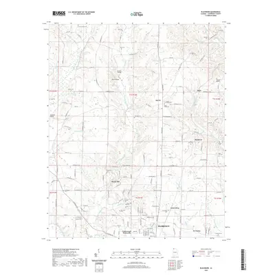
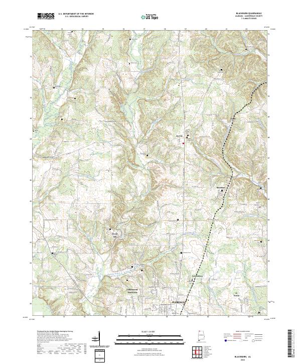
1936 Blackburn
Lauderdale County, AL
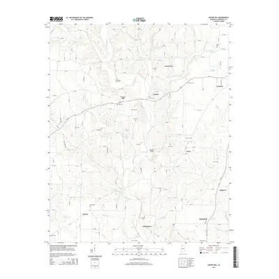
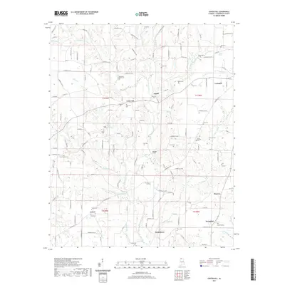
1936 Center Hill
Lauderdale County, AL
1936 Pruitton
Lauderdale County, AL

1936 Thorntontown
Lauderdale County, AL
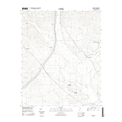
1936 Threet
Lauderdale County, AL
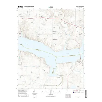
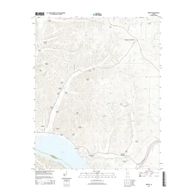
1936 Wheeler Dam
Lauderdale County, AL
1952 Blackburn
Lauderdale County, AL
1952 Center Hill
Lauderdale County, AL
1952 Pruitton
Lauderdale County, AL
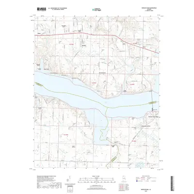
1952 Wheeler Dam
Lauderdale County, AL
1953 Wright
Lauderdale County, AL
1954 Sinking Creek
Lauderdale County, AL
1954 Threet
Lauderdale County, AL
1971 Wheeler Dam
Lauderdale County, AL
2011 Blackburn
Lauderdale County, AL
2011 Center Hill
Lauderdale County, AL
2011 Pruitton
Lauderdale County, AL
2011 Sinking Creek
Lauderdale County, AL
2011 Threet
Lauderdale County, AL
2011 Wright
Lauderdale County, AL
2012 Wheeler Dam
Lauderdale County, AL
2014 Blackburn
Lauderdale County, AL
2014 Center Hill
Lauderdale County, AL
2014 Pruitton
Lauderdale County, AL
2014 Sinking Creek
Lauderdale County, AL
2014 Threet
Lauderdale County, AL
2014 Wheeler Dam
Lauderdale County, AL
2014 Wright
Lauderdale County, AL
2018 Blackburn
Lauderdale County, AL
2018 Center Hill
Lauderdale County, AL
2018 Pruitton
Lauderdale County, AL
2018 Sinking Creek
Lauderdale County, AL
2018 Threet
Lauderdale County, AL
2018 Wheeler Dam
Lauderdale County, AL
2018 Wright
Lauderdale County, AL
2020 Blackburn
Lauderdale County, AL
2020 Pruitton
Lauderdale County, AL
2020 Sinking Creek
Lauderdale County, AL
2020 Threet
Lauderdale County, AL
2020 Wheeler Dam
Lauderdale County, AL
2020 Wright
Lauderdale County, AL
2021 Center Hill
Lauderdale County, AL
2024 Blackburn
Lauderdale County, AL
2024 Center Hill
Lauderdale County, AL
2024 Pruitton
Lauderdale County, AL
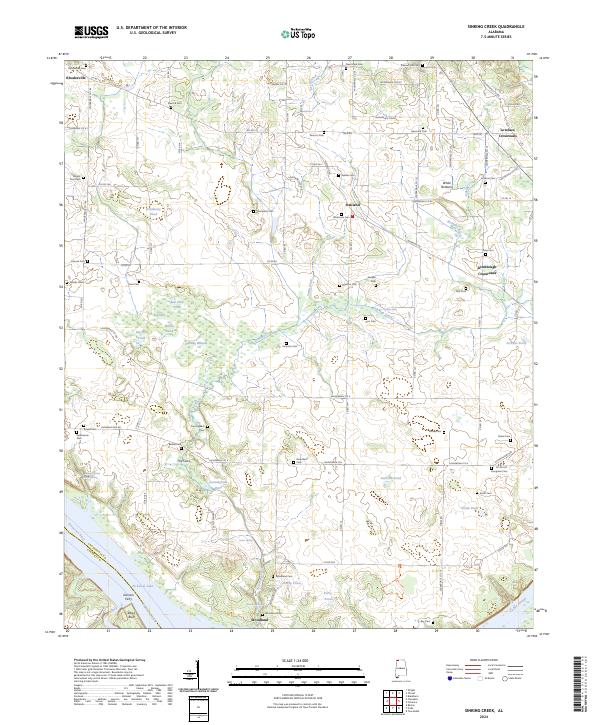
2024 Sinking Creek
Lauderdale County, AL
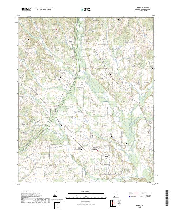
2024 Threet
Lauderdale County, AL
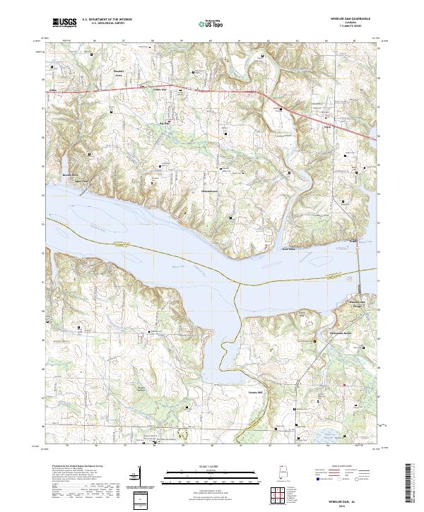
2024 Wheeler Dam
Lauderdale County, AL
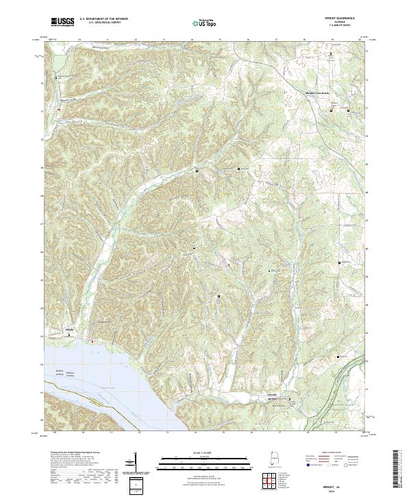
2024 Wright
Lauderdale County, AL