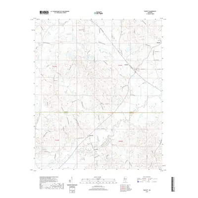
2020 Map of Puckett
USGS Topo · Published 2020About this map
The Strong River snakes through the central and southern portions of this landscape, defining the topography south of Puckett. This area at the border of Rankin Co and Simpson Co is characterized by its numerous small creek drainages, including Wildcat Cr and Campbell Cr. Small settlements like Everett, Mayton, and Floyd Bridge are connected by a network of rural roads such as Brandon-Williamsburg Rd and Moody Wallace Rd.
Find a feature on this map
76 named features on this map. Tap any name to fly to it.
Don’t see what you’re looking for? This feature index may not catch every label — zoom into the map to look around manually.
Map Details
Editions of this 2020 Puckett Map
This is the sole edition of this map. No revisions or reprints were ever made.
Other maps of this area

1935 · White Oak
USGS Topo · 1:24,000

1953 · Hattiesburg
USGS Topo · 1:250,000

1953 · Meridian
USGS Topo · 1:250,000

1957 · Meridian
USGS Topo · 1:250,000

1958 · Hattiesburg
USGS Topo · 1:250,000

1965 · Meridian
USGS Topo · 1:250,000
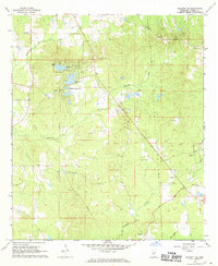
1968 · Puckett NW
USGS Topo · 1:24,000

1968 · White Oak
USGS Topo · 1:24,000
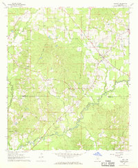
1968 · Puckett
USGS Topo · 1:24,000
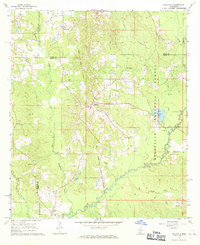
1968 · Polkville
USGS Topo · 1:24,000