Loading...
Loading map...2024 Map of Puckett
USGS Topo · Published 2024About this map
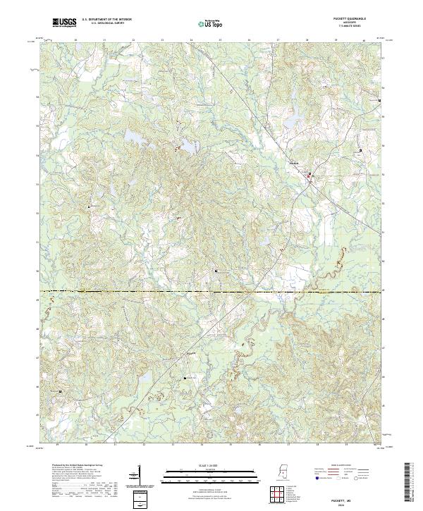
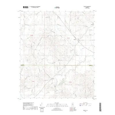
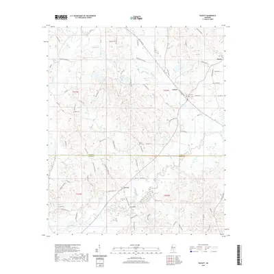
The town of Puckett serves as the focal point for this landscape along the Rankin Co Simpson Co line. The terrain is defined by the winding course of the Strong River and its various tributaries, including Wildcat Creek and Campbell Creek. This area of Mississippi is characterized by a high density of burial sites that reflect the region's family-settlement patterns, including Union Cem, Everett Cem, and Rosehill Cem.
Find a feature on this map
76 named features on this map. Tap any name to fly to it.
Don’t see what you’re looking for? This feature index may not catch every label — zoom into the map to look around manually.
Map Details
Date Portrayed2024
Date Published2024
PublisherU.S. Geological Survey
Map TypeTopographic
Scale1:24,000
Physical Dimensions24 x 29 inches
Editions of this 2024 Puckett Map
This is the sole edition of this map. No revisions or reprints were ever made.
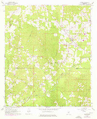
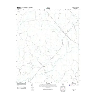
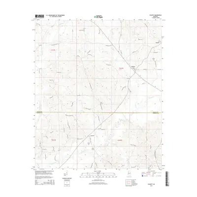
Historical Maps of Puckett Through Time
6 maps found
Featured Locations
Source Details
SourceU.S. Geological Survey
CopyrightPublic Domain