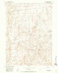
1957 Map of Puddle Springs
USGS Topo · Published 1958About this map
Homesteaders and early ranchers once established several remote claims across this Fremont County landscape, as seen in the late 1950s. The map documents the remnants of high-desert settlement, including the Clay City Ruins and several former homesteads such as the George Homestead, Ramsey Homestead, and Sherlock Homestead. This pattern of abandoned sites suggests a difficult environment for permanent dryland farming, with the local economy shifting toward livestock operations like the Puddle Springs Ranch. Water management is central to the area's utility, marked by numerous draws and man-made features like Reid Reservoir and Willow Springs Reservoir that catch seasonal runoff. Petroleum exploration is also evident through several locations noted as Inactive or Aban'd oil wells, pointing to the region's mineral interests during the mid-20th century. The terrain is punctuated by distinctive landmarks like Sarcophagus Butte, providing orientation in a land defined by winding drainages like Muskrat Creek and Coyote Creek.
Find a feature on this map
23 named features on this map. Tap any name to fly to it.
Don’t see what you’re looking for? This feature index may not catch every label — zoom into the map to look around manually.
Map Details
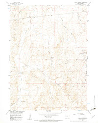
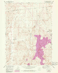
Editions of this 1957 Puddle Springs Map
3 editions found
Other maps of this area

1952 · Muskrat Basin
USGS Topo · 1:24,000

1952 · Rongis Reservoir SE
USGS Topo · 1:24,000

1952 · Love Ranch
USGS Topo · 1:24,000

1952 · Gas Hills
USGS Topo · 1:24,000

1952 · Puddle Springs
USGS Topo · 1:24,000

1952 · Butte Well
USGS Topo · 1:24,000

1952 · Miles Ranch
USGS Topo · 1:24,000

1952 · Coyote Springs
USGS Topo · 1:24,000

1952 · Mc Intosh Meadows
USGS Topo · 1:24,000

1955 · Casper
USGS Topo · 1:250,000