Loading...
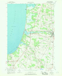
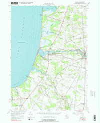
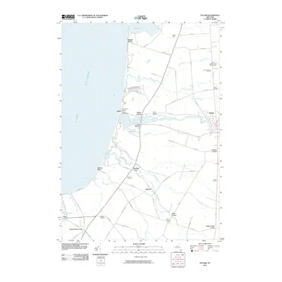
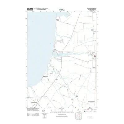
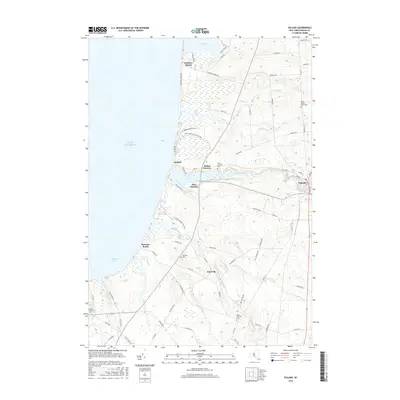
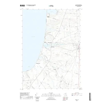
Loading map...1956 Map of Pulaski
USGS Topo · Published 1970About this map
The Salmon River and its entry into Lake Ontario anchor this mid-century survey of the Oswego County shoreline. The village of Pulaski appears as a developed hub, featuring the Academy and Central Sch and the North Street Road Cemetery to the north. Along the lakefront, the landscape transitions from the protected wetlands of Selkirk Shores State Park and Marsh to developed summer colonies like Rainbow Shores and Ramona Beach.
Find a feature on this map
67 named features on this map. Tap any name to fly to it.
Don’t see what you’re looking for? This feature index may not catch every label — zoom into the map to look around manually.
Map Details
Date Portrayed1956
Date Published1970
PublisherU.S. Geological Survey
Map TypeTopographic
Scale1:24,000
Physical Dimensions22.1 x 27 inches
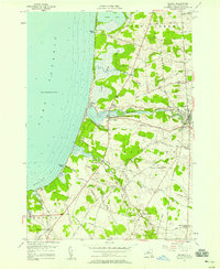
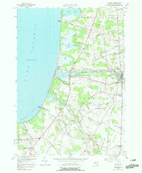
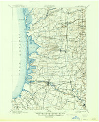
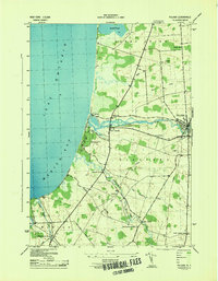
Editions of this 1956 Pulaski Map
5 editions found
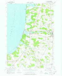
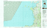
Historical Maps of Richland Through Time
9 maps found

Featured Locations
Source Details
SourceU.S. Geological Survey
CopyrightPublic Domain