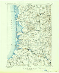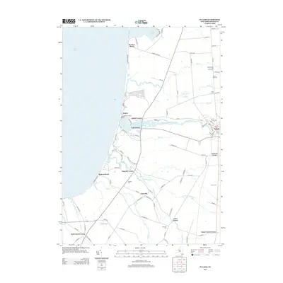
1956 Map of Pulaski
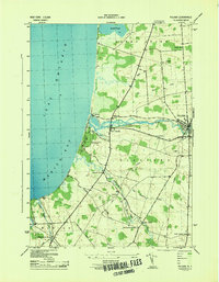
USGS Topo · Published 1990About this map
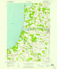
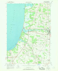
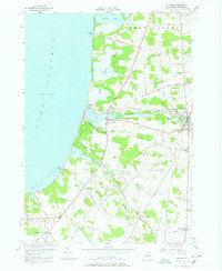
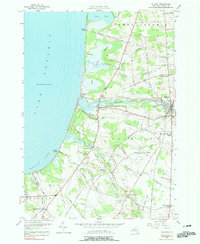
Lake Ontario borders the western edge of this 1950s survey, where the Salmon River meets the shore at Port Ontario. The village of Pulaski serves as the inland anchor, showing a dense grid of streets and the Academy and Central Sch. The landscape is a network of small crossroad settlements and family-named landmarks like Tinker Tavern Corner and Malby Corners, which speak to the rural development of Oswego County during the mid-century. Along the coast, Selkirk Shores State Park and the Selkirk Lighthouse mark a transition from recreation to maritime utility. Genealogists will find value in clearly marked burial sites such as the North Street Road Cemetery and Daysville Cem, while the winding courses of Grindstone Creek and Deer Creek define the local drainage patterns into Mexico Bay.
Find a feature on this map
57 named features on this map. Tap any name to fly to it.
Don’t see what you’re looking for? This feature index may not catch every label — zoom into the map to look around manually.
Map Details
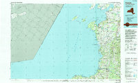
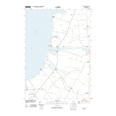
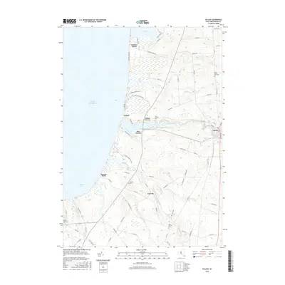
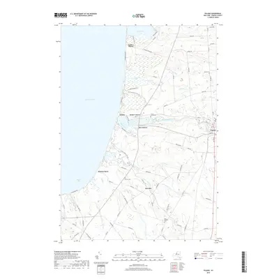
Editions of this 1956 Pulaski Map
5 editions found
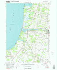
Historical Maps of Richland Through Time
9 maps found