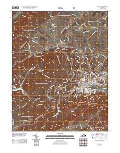
2011 Map of Pulaski
USGS Topo · Published 2011About this map
Pulaski serves as the central hub of this 2011 survey, showing a developed street grid and community infrastructure including the Pulaski Post Office and Oakwood Cemetery. The surrounding landscape is defined by the significant ridges of Tract Mountain and Chestnut Mountain, which channel the various branches of Peak Creek and its tributaries toward the valley floor. Evidence of the region’s industrial and resource history is visible at the Empire Mine near Thornhill Pond, while smaller residential pockets like Weldon and Hilton Village occupy the northern slopes. Water management is a prominent theme across the terrain, with Gatewood Reservoir and Hogan Lake providing major water bodies, supported by structures like the Gatewood Dam. Local recreation and community spaces, such as the Mountain Park Picnic Area, are well-documented alongside family-named hollows like Bateman Hollow.
Find a feature on this map
150 named features on this map. Tap any name to fly to it.
Don’t see what you’re looking for? This feature index may not catch every label — zoom into the map to look around manually.
Map Details
Editions of this 2011 Pulaski Map
This is the sole edition of this map. No revisions or reprints were ever made.
Other maps of this area

1889 · Hillsville
USGS Topo · 1:125,000

1890 · Dublin
USGS Topo · 1:125,000

1891 · Dublin
USGS Topo · 1:125,000

1892 · Hillsville
USGS Topo · 1:125,000

1896 · Hillsville
USGS Topo · 1:125,000

1930 · Max Meadows
USGS Topo · 1:62,500

1934 · Pulaski
USGS Topo · 1:48,000

1940 · Pulaski
USGS Topo · 1:62,500

1950 · Radford
USGS Topo · 1:62,500

1953 · Winston-Salem
USGS Topo · 1:250,000