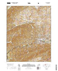
2019 Map of Pulaski
USGS Topo · Published 2019About this map
Pulaski serves as the central hub of this Appalachian landscape, situated where the valley floor meets the steep rise of Draper Mtn and Caseknife Ridge. The town's grid is anchored by the Pulaski County Courthouse, while residential growth reaches north toward Oakwood Cem. This area reveals the complex transition from developed town centers to the protected wilderness of the Jefferson National Forest, which blankets much of the western terrain across Chestnut Mtn and Brushy Ridge. Waterways like Peak Creek and Little Walker Creek follow the northeast-to-southwest grain of the ridges, defining the narrow valleys where smaller settlements like Weldon and Mount Olivet take root. The map illustrates a landscape shaped by sharp topographical boundaries, where industrial and civic life is concentrated in the corridors between the mountains.
Find a feature on this map
133 named features on this map. Tap any name to fly to it.
Don’t see what you’re looking for? This feature index may not catch every label — zoom into the map to look around manually.
Map Details
Editions of this 2019 Pulaski Map
This is the sole edition of this map. No revisions or reprints were ever made.
Other maps of this area

1889 · Hillsville
USGS Topo · 1:125,000

1890 · Dublin
USGS Topo · 1:125,000

1891 · Dublin
USGS Topo · 1:125,000

1892 · Hillsville
USGS Topo · 1:125,000

1896 · Hillsville
USGS Topo · 1:125,000

1930 · Max Meadows
USGS Topo · 1:62,500

1934 · Pulaski
USGS Topo · 1:48,000

1940 · Pulaski
USGS Topo · 1:62,500

1950 · Radford
USGS Topo · 1:62,500

1953 · Winston-Salem
USGS Topo · 1:250,000