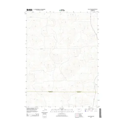
2014 Map of Pullen Ranch
USGS Topo · Published 2014About this map
Pullen Ranch sits as the central landmark in this high-plains landscape near the border of Lincoln and McPherson counties. The terrain is defined by the undulating topography of the Nebraska Sandhills, where land use is dominated by large-scale ranching operations. The McPherson Co Lincoln Co line bisects the southern portion of the map, marking a quiet administrative boundary in a region with very few developed thoroughfares. Aside from Griffith Rd in the northwest, the map shows a sparse network of local roads and trails, illustrating the low population density and specialized agricultural focus of this corner of the state during the early 21st century.
Find a feature on this map
3 named features on this map. Tap any name to fly to it.
Don’t see what you’re looking for? This feature index may not catch every label — zoom into the map to look around manually.
Map Details
Editions of this 2014 Pullen Ranch Map
This is the sole edition of this map. No revisions or reprints were ever made.
Other maps of this area

1898 · Paxton
USGS Topo · 1:125,000

1899 · North Platte
USGS Topo · 1:125,000

1901 · Paxton
USGS Topo · 1:125,000

1902 · North Platte
USGS Topo · 1:125,000

1949 · Wright Valley
USGS Topo · 1:62,500

1951 · Tryon
USGS Topo · 1:62,500

1951 · Wright Valley
USGS Topo · 1:62,500

1954 · North Platte
USGS Topo · 1:250,000

1956 · North Platte
USGS Topo · 1:250,000

1957 · North Platte
USGS Topo · 1:250,000