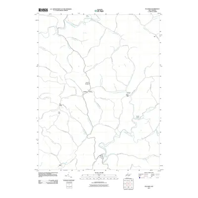
2011 Map of Pullman
USGS Topo · Published 2011About this map
Pullman serves as the central hub of this Ritchie County landscape, situated near the headwaters of several prominent drainage systems. The town is marked by the Pullman Churchyard and the nearby Pullman Structure One Dam, which regulates the flow of the Left Fork Slab Creek. This area of West Virginia is defined by its intricate network of winding runs and forks, such as Chevaux de Frise Run and Pantherlick Run, which carve through the terrain near landmarks like King Knob.
Find a feature on this map
77 named features on this map. Tap any name to fly to it.
Don’t see what you’re looking for? This feature index may not catch every label — zoom into the map to look around manually.
Map Details
Editions of this 2011 Pullman Map
This is the sole edition of this map. No revisions or reprints were ever made.
Other maps of this area

1905 · West Union
USGS Topo · 1:62,500

1906 · Saint Marys
USGS Topo · 1:62,500

1906 · Holbrook
USGS Topo · 1:62,500

1907 · Harrisville
USGS Topo · 1:62,500

1924 · St Marys
USGS Topo · 1:62,500

1924 · Harrisville
USGS Topo · 1:62,500

1924 · West Union
USGS Topo · 1:62,500

1924 · Holbrook
USGS Topo · 1:62,500

1926 · Harrisville
USGS Topo · 1:62,500

1926 · Holbrook
USGS Topo · 1:62,500