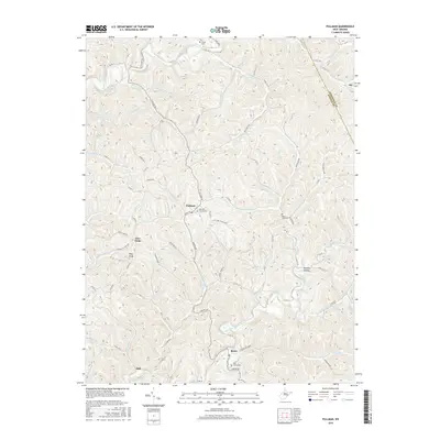
2016 Map of Pullman
USGS Topo · Published 2016About this map
Pullman and Berea center a landscape defined by the branching waterways of the Hughes River system during this 2016 survey. The terrain is a complex network of narrow hollows and high points, including King Knob and the descriptive Poverty Hollow. Settlement patterns follow the winding routes of Auburn Rd and Pullman Dr, where small communities and historical burial grounds like the Pullman Churchyard and Taylor Cem remain as markers of local family history. The Ritchie County landscape is divided by the North Fork Hughes River and the South Fork Hughes River, with numerous named runs such as Pantherlick Run, Buzzard Run, and Chevaux-de-Frise Run carving out the geography. This modern topographic record captures the enduring rural character of the region, from the crossroads at Five Forks to the southern settlement of Slab.
Find a feature on this map
83 named features on this map. Tap any name to fly to it.
Don’t see what you’re looking for? This feature index may not catch every label — zoom into the map to look around manually.
Map Details
Editions of this 2016 Pullman Map
This is the sole edition of this map. No revisions or reprints were ever made.
Other maps of this area

1905 · West Union
USGS Topo · 1:62,500

1906 · Saint Marys
USGS Topo · 1:62,500

1906 · Holbrook
USGS Topo · 1:62,500

1907 · Harrisville
USGS Topo · 1:62,500

1924 · St Marys
USGS Topo · 1:62,500

1924 · Harrisville
USGS Topo · 1:62,500

1924 · West Union
USGS Topo · 1:62,500

1924 · Holbrook
USGS Topo · 1:62,500

1926 · Harrisville
USGS Topo · 1:62,500

1926 · Holbrook
USGS Topo · 1:62,500